Distance to and from Shady Brook, Kansas
Shady Brook, Union Township, KS 67449
Union Township
Kansas
US
America/Chicago
Location Information
-
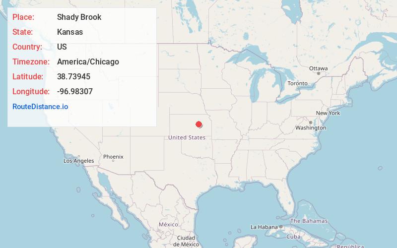
Full AddressShady Brook, Union Township, KS 67449
-
Coordinates38.7394498, -96.9830697
-
LocationUnion Township , Kansas , US
-
TimezoneAmerica/Chicago
-
Current Local Time1:25:41 AM America/ChicagoSunday, May 4, 2025
-
Page Views0
Directions to Nearest Cities
About Shady Brook
Shady Brook is an unincorporated community in Dickinson County, Kansas, United States. It is located at the intersection of 1000 Ave and Trail Rd.
Nearby Places
Found 10 places within 50 miles

Woodbine
4.1 mi
6.6 km
Woodbine, KS
Get directions

Herington
5.2 mi
8.4 km
Herington, KS 67449
Get directions

Hope
6.1 mi
9.8 km
Hope, KS 67451
Get directions

Latimer
7.4 mi
11.9 km
Latimer, KS 67449
Get directions
Navarre
7.7 mi
12.4 km
Navarre, KS 67451
Get directions
Rishel
7.8 mi
12.6 km
Rishel, Lyon Township, KS 67475
Get directions
Pearl
8.4 mi
13.5 km
Pearl, Logan Township, KS 67431
Get directions
Lyona
9.0 mi
14.5 km
Lyona, Liberty Township, KS 66441
Get directions
Jacobs
9.2 mi
14.8 km
Jacobs, Lyon Township, KS 67475
Get directions
Dillon
9.4 mi
15.1 km
Dillon, Hope Township, KS 67451
Get directions
Woodbine
4.1 mi
6.6 km
Woodbine, KS
Herington
5.2 mi
8.4 km
Herington, KS 67449
Hope
6.1 mi
9.8 km
Hope, KS 67451
Latimer
7.4 mi
11.9 km
Latimer, KS 67449
Navarre
7.7 mi
12.4 km
Navarre, KS 67451
Rishel
7.8 mi
12.6 km
Rishel, Lyon Township, KS 67475
Pearl
8.4 mi
13.5 km
Pearl, Logan Township, KS 67431
Lyona
9.0 mi
14.5 km
Lyona, Liberty Township, KS 66441
Jacobs
9.2 mi
14.8 km
Jacobs, Lyon Township, KS 67475
Dillon
9.4 mi
15.1 km
Dillon, Hope Township, KS 67451
Location Links
Local Weather
Weather Information
Coming soon!
Location Map
Static map view of Shady Brook, Kansas
Browse Places by Distance
Places within specific distances from Shady Brook
Short Distances
Long Distances
Click any distance to see all places within that range from Shady Brook. Distances shown in miles (1 mile ≈ 1.61 kilometers).