Distance to Shady Grove, Illinois

Calculating Your Route
Just a moment while we process your request...
Location Information
-
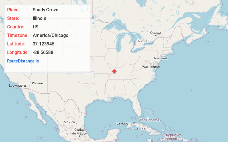
Full AddressShady Grove, IL 62910
-
Coordinates37.1239447, -88.5658795
-
LocationShady Grove , Illinois , US
-
TimezoneAmerica/Chicago
-
Current Local Time8:02:15 AM America/ChicagoSunday, May 25, 2025
-
Page Views0
About Shady Grove
Shady Grove is an unincorporated community in Massac County, Illinois, United States. Shady Grove is 3.5 miles east of Brookport.
Nearby Places
Found 10 places within 50 miles

Unionville
1.1 mi
1.8 km
Unionville, IL 62910
Get directions

Paducah
3.3 mi
5.3 km
Paducah, KY
Get directions

Brookport
3.6 mi
5.8 km
Brookport, IL 62910
Get directions
Littleville
4.8 mi
7.7 km
Littleville, Paducah, KY 42003
Get directions

Farley
5.7 mi
9.2 km
Farley, KY 42003
Get directions
Cecil
5.8 mi
9.3 km
Cecil, KY 42001
Get directions
New Liberty
6.5 mi
10.5 km
New Liberty, IL 62910
Get directions
Hendron
6.8 mi
10.9 km
Hendron, KY 42003
Get directions

Horse Branch
7.1 mi
11.4 km
Horse Branch, Farley, KY 42003
Get directions

Ledbetter
7.3 mi
11.7 km
Ledbetter, KY 42058
Get directions
Location Links
Local Weather
Weather Information
Coming soon!
Location Map
Static map view of Shady Grove, Illinois
Browse Places by Distance
Places within specific distances from Shady Grove
Short Distances
Long Distances
Click any distance to see all places within that range from Shady Grove. Distances shown in miles (1 mile ≈ 1.61 kilometers).