Distance to Shady Grove, North Carolina

Calculating Your Route
Just a moment while we process your request...
Location Information
-
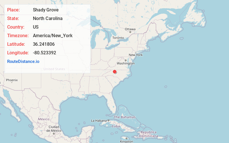
Full AddressShady Grove, NC 27018
-
Coordinates36.2418059, -80.5233917
-
LocationNorth Carolina , US
-
TimezoneAmerica/New_York
-
Current Local Time5:24:22 AM America/New_YorkWednesday, June 18, 2025
-
Page Views0
Nearby Places
Found 10 places within 50 miles

East Bend
1.8 mi
2.9 km
East Bend, NC 27018
Get directions

Shoals
2.3 mi
3.7 km
Shoals, NC 27043
Get directions
Smithtown
3.0 mi
4.8 km
Smithtown, NC 27018
Get directions
Siloam
3.7 mi
6.0 km
Siloam, NC 27047
Get directions
Richmond Hill
4.9 mi
7.9 km
Richmond Hill, NC 27011
Get directions
Donnaha
5.1 mi
8.2 km
Donnaha, NC 27050
Get directions
Union Grove
5.2 mi
8.4 km
Union Grove, NC 27055
Get directions
Flint Hill
5.3 mi
8.5 km
Flint Hill, NC 27018
Get directions

Pinnacle
7.9 mi
12.7 km
Pinnacle, NC 27043
Get directions
Dalton
8.2 mi
13.2 km
Dalton, NC 27043
Get directions
Location Links
Local Weather
Weather Information
Coming soon!
Location Map
Static map view of Shady Grove, North Carolina
Browse Places by Distance
Places within specific distances from Shady Grove
Short Distances
Long Distances
Click any distance to see all places within that range from Shady Grove. Distances shown in miles (1 mile ≈ 1.61 kilometers).