Distance to Shady Grove, Florida

Calculating Your Route
Just a moment while we process your request...
Location Information
-
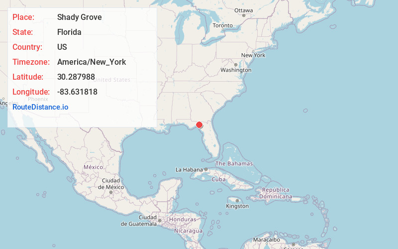
Full AddressShady Grove, FL 32331
-
Coordinates30.2879876, -83.6318182
-
LocationShady Grove , Florida , US
-
TimezoneAmerica/New_York
-
Current Local Time7:07:55 PM America/New_YorkMonday, June 16, 2025
-
Page Views0
About Shady Grove
Shady Grove is an unincorporated community in Taylor County, Florida, United States. The community is located on U.S. Route 221, 12.1 miles north-northwest of Perry. Shady Grove has a post office with ZIP code 32357.
Nearby Places
Found 10 places within 50 miles

Ebb
4.7 mi
7.6 km
Ebb, FL 32331
Get directions

Iddo
5.6 mi
9.0 km
Iddo, FL 32331
Get directions
Stern
12.4 mi
20.0 km
Stern, Greenville, FL 32331
Get directions

Greenville
12.5 mi
20.1 km
Greenville, FL 32331
Get directions

Perry
12.5 mi
20.1 km
Perry, FL
Get directions

Taylor County
13.3 mi
21.4 km
Taylor County, FL
Get directions
Aucilla
15.1 mi
24.3 km
Aucilla, FL 32344
Get directions
Cabbage Grove
15.4 mi
24.8 km
Cabbage Grove, FL 32336
Get directions
Spray
15.6 mi
25.1 km
Spray, FL 32331
Get directions
Foley
16.3 mi
26.2 km
Foley, FL 32348
Get directions
Location Links
Local Weather
Weather Information
Coming soon!
Location Map
Static map view of Shady Grove, Florida
Browse Places by Distance
Places within specific distances from Shady Grove
Short Distances
Long Distances
Click any distance to see all places within that range from Shady Grove. Distances shown in miles (1 mile ≈ 1.61 kilometers).