Distance to Shady Oaks, Louisiana

Calculating Your Route
Just a moment while we process your request...
Location Information
-
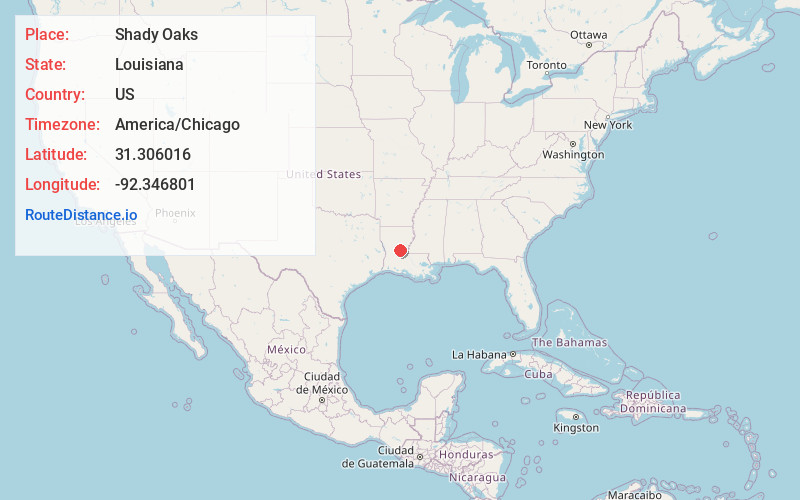
Full AddressShady Oaks, LA 71360
-
Coordinates31.3060161, -92.3468006
-
LocationLouisiana , US
-
TimezoneAmerica/Chicago
-
Current Local Time5:35:13 AM America/ChicagoSunday, June 22, 2025
-
Page Views0
Nearby Places
Found 10 places within 50 miles

Kolin
2.1 mi
3.4 km
Kolin, LA 71360
Get directions
Libuse
3.4 mi
5.5 km
Libuse, LA 71360
Get directions
Wardville
3.5 mi
5.6 km
Wardville, LA 71360
Get directions

Pineville
5.3 mi
8.5 km
Pineville, LA
Get directions
Green Gables
5.4 mi
8.7 km
Green Gables, LA 71360
Get directions

Alexandria
5.8 mi
9.3 km
Alexandria, LA
Get directions
Barron
6.1 mi
9.8 km
Barron, LA 71328
Get directions
Fort Buhlow
6.2 mi
10.0 km
Fort Buhlow, Pineville, LA 71360
Get directions
Willow Glen
6.5 mi
10.5 km
Willow Glen, LA 71302
Get directions
Lee Heights
6.7 mi
10.8 km
Lee Heights, LA 71360
Get directions
Location Links
Local Weather
Weather Information
Coming soon!
Location Map
Static map view of Shady Oaks, Louisiana
Browse Places by Distance
Places within specific distances from Shady Oaks
Short Distances
Long Distances
Click any distance to see all places within that range from Shady Oaks. Distances shown in miles (1 mile ≈ 1.61 kilometers).