Distance to Shady Rill, Vermont

Calculating Your Route
Just a moment while we process your request...
Location Information
-
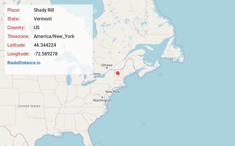
Full AddressShady Rill, Middlesex, VT 05602
-
Coordinates44.3442239, -72.5892779
-
NeighborhoodShady Rill
-
LocationMiddlesex , Vermont , US
-
TimezoneAmerica/New_York
-
Current Local Time11:26:18 PM America/New_YorkMonday, May 19, 2025
-
Page Views0
Nearby Places
Found 10 places within 50 miles

Worcester
2.8 mi
4.5 km
Worcester, VT 05682
Get directions

Middlesex
5.7 mi
9.2 km
Middlesex, VT
Get directions

Montpelier
5.9 mi
9.5 km
Montpelier, VT 05602
Get directions

Calais
6.3 mi
10.1 km
Calais, VT
Get directions

East Montpelier
7.1 mi
11.4 km
East Montpelier, VT
Get directions
North Montpelier Pond Upper Dam
7.6 mi
12.2 km
North Montpelier Pond Upper Dam, Plainfield, VT 05667
Get directions

Duxbury
8.2 mi
13.2 km
Duxbury, VT
Get directions

Waterbury
8.4 mi
13.5 km
Waterbury, VT
Get directions

Berlin
8.9 mi
14.3 km
Berlin, VT
Get directions

Plainfield
9.3 mi
15.0 km
Plainfield, VT
Get directions
Location Links
Local Weather
Weather Information
Coming soon!
Location Map
Static map view of Shady Rill, Vermont
Browse Places by Distance
Places within specific distances from Shady Rill
Short Distances
Long Distances
Click any distance to see all places within that range from Shady Rill. Distances shown in miles (1 mile ≈ 1.61 kilometers).