Distance to Shakopee, Minnesota

Calculating Your Route
Just a moment while we process your request...
Location Information
-
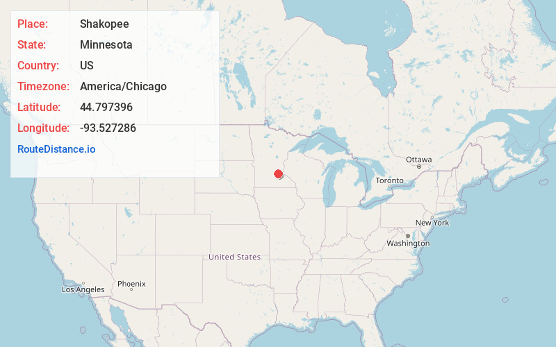
Full AddressShakopee, MN
-
Coordinates44.7973962, -93.5272861
-
LocationShakopee , Minnesota , US
-
TimezoneAmerica/Chicago
-
Current Local Time9:50:26 PM America/ChicagoWednesday, June 18, 2025
-
Website
-
Page Views0
About Shakopee
Shakopee is a city in and the county seat of Scott County, Minnesota, United States. It is southwest of Minneapolis.


Nearby Places
Found 10 places within 50 miles

Eden Prairie
4.8 mi
7.7 km
Eden Prairie, MN
Get directions

Minnetonka
10.1 mi
16.3 km
Minnetonka, MN
Get directions

Edina
10.8 mi
17.4 km
Edina, MN
Get directions

Bloomington
11.6 mi
18.7 km
Bloomington, MN
Get directions

Burnsville
12.4 mi
20.0 km
Burnsville, MN
Get directions

Plymouth
15.1 mi
24.3 km
Plymouth, MN
Get directions

Apple Valley
15.8 mi
25.4 km
Apple Valley, MN 55124
Get directions

Lakeville
17.3 mi
27.8 km
Lakeville, MN
Get directions

Eagan
17.7 mi
28.5 km
Eagan, MN
Get directions

Minneapolis
17.9 mi
28.8 km
Minneapolis, MN
Get directions
Location Links
Local Weather
Weather Information
Coming soon!
Location Map
Static map view of Shakopee, Minnesota
Browse Places by Distance
Places within specific distances from Shakopee
Short Distances
Long Distances
Click any distance to see all places within that range from Shakopee. Distances shown in miles (1 mile ≈ 1.61 kilometers).