Distance to Shallotte, North Carolina

Calculating Your Route
Just a moment while we process your request...
Location Information
-
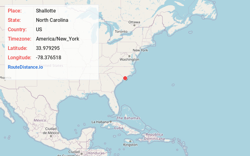
Full AddressShallotte, NC
-
Coordinates33.9792949, -78.3765176
-
LocationShallotte , North Carolina , US
-
TimezoneAmerica/New_York
-
Current Local Time11:25:22 PM America/New_YorkTuesday, June 17, 2025
-
Website
-
Page Views0
About Shallotte
Shallotte is a town in western Brunswick County, North Carolina, United States. The population was 3,675 at the 2010 census. The Shallotte River passes through the town.


Nearby Places
Found 10 places within 50 miles

Carolina Shores
12.4 mi
20.0 km
Carolina Shores, NC 28467
Get directions

Oak Island
13.0 mi
20.9 km
Oak Island, NC
Get directions

St James
15.1 mi
24.3 km
St James, NC 28461
Get directions

Little River
15.5 mi
24.9 km
Little River, SC 29566
Get directions

Leland
26.1 mi
42.0 km
Leland, NC
Get directions

Carolina Beach
27.9 mi
44.9 km
Carolina Beach, NC 28428
Get directions

Silver Lake
29.0 mi
46.7 km
Silver Lake, NC 28412
Get directions

Myrtle Grove
30.3 mi
48.8 km
Myrtle Grove, NC
Get directions

Whiteville
31.1 mi
50.1 km
Whiteville, NC 28472
Get directions

Carolina Forest
31.6 mi
50.9 km
Carolina Forest, SC 29579
Get directions
Location Links
Local Weather
Weather Information
Coming soon!
Location Map
Static map view of Shallotte, North Carolina
Browse Places by Distance
Places within specific distances from Shallotte
Short Distances
Long Distances
Click any distance to see all places within that range from Shallotte. Distances shown in miles (1 mile ≈ 1.61 kilometers).