Distance to Shallowater, Texas

Calculating Your Route
Just a moment while we process your request...
Location Information
-
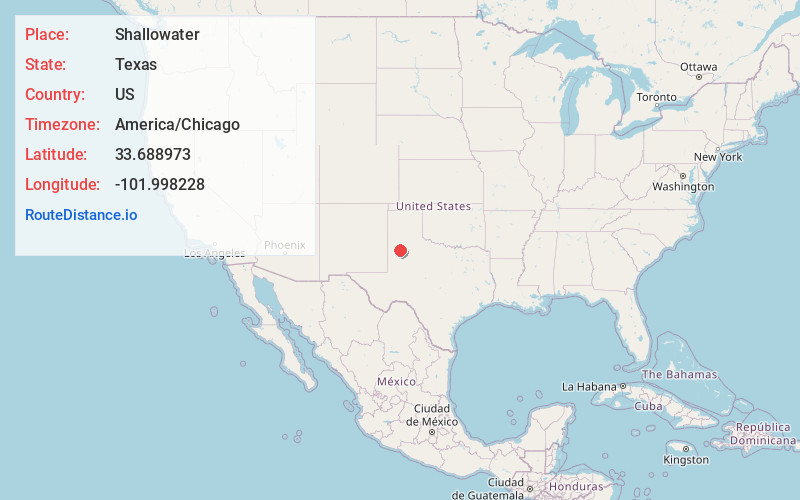
Full AddressShallowater, TX 79363
-
Coordinates33.6889728, -101.9982275
-
LocationShallowater , Texas , US
-
TimezoneAmerica/Chicago
-
Current Local Time10:38:38 AM America/ChicagoFriday, June 20, 2025
-
Page Views0
About Shallowater
Shallowater is a city in Lubbock County, Texas, United States. Shallowater is on U.S. Route 84 and the Burlington Northern Santa Fe line, 12 miles northwest of Lubbock. Its population was 2,964 at the 2020 census. It is part of the Lubbock metropolitan statistical area.


Nearby Places
Found 9 places within 50 miles

Lubbock
11.3 mi
18.2 km
Lubbock, TX
Get directions

Wolfforth
12.7 mi
20.4 km
Wolfforth, TX 79382
Get directions

Abernathy
13.3 mi
21.4 km
Abernathy, TX 79311
Get directions

Levelland
22.9 mi
36.9 km
Levelland, TX 79336
Get directions

Littlefield
24.5 mi
39.4 km
Littlefield, TX 79339
Get directions

Slaton
26.8 mi
43.1 km
Slaton, TX 79364
Get directions

Plainview
38.1 mi
61.3 km
Plainview, TX 79072
Get directions

Brownfield
38.5 mi
62.0 km
Brownfield, TX 79316
Get directions

Post
49.6 mi
79.8 km
Post, TX 79356
Get directions
Location Links
Local Weather
Weather Information
Coming soon!
Location Map
Static map view of Shallowater, Texas
Browse Places by Distance
Places within specific distances from Shallowater
Short Distances
Long Distances
Click any distance to see all places within that range from Shallowater. Distances shown in miles (1 mile ≈ 1.61 kilometers).