Distance to Shandon, Ohio

Calculating Your Route
Just a moment while we process your request...
Location Information
-
Full AddressShandon, OH 45013
-
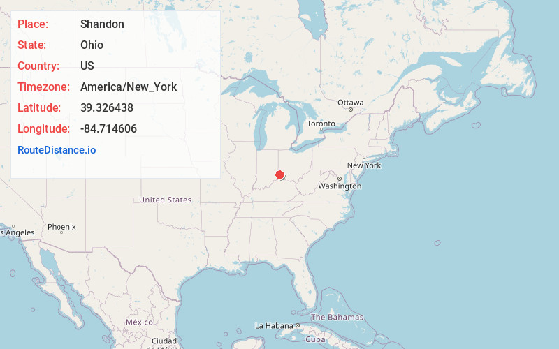
Coordinates39.3264376, -84.7146063
-
LocationShandon , Ohio , US
-
TimezoneAmerica/New_York
-
Current Local Time11:11:43 PM America/New_YorkThursday, June 5, 2025
-
Page Views0
About Shandon
Shandon is an unincorporated community in southwestern Morgan Township, Butler County, Ohio, United States. It is located on Paddy's Run, a tributary of the Great Miami River, about four miles west of Ross at the intersection of State Routes 126 and 748 in section 25 of R1ET3N of the Congress Lands.
Nearby Places
Found 10 places within 50 miles

Layhigh
2.7 mi
4.3 km
Layhigh, Ross Township, OH 45013
Get directions
Alert
3.4 mi
5.5 km
Alert, OH 45053
Get directions

Ross
3.6 mi
5.8 km
Ross, OH
Get directions
New Baltimore
5.0 mi
8.0 km
New Baltimore, OH 45030
Get directions
Millville
5.4 mi
8.7 km
Millville, OH 45013
Get directions
Taylor Creek
5.5 mi
8.9 km
Taylor Creek, OH
Get directions
Dunlap
5.7 mi
9.2 km
Dunlap, OH
Get directions
Queen Acres
6.2 mi
10.0 km
Queen Acres, Hanover Township, OH 45013
Get directions

Harrison
6.5 mi
10.5 km
Harrison, OH 45030
Get directions
Newkirk
6.7 mi
10.8 km
Newkirk, Reily Township, OH 45056
Get directions
Location Links
Local Weather
Weather Information
Coming soon!
Location Map
Static map view of Shandon, Ohio
Browse Places by Distance
Places within specific distances from Shandon
Short Distances
Long Distances
Click any distance to see all places within that range from Shandon. Distances shown in miles (1 mile ≈ 1.61 kilometers).