Distance to Sharkey, Kentucky

Calculating Your Route
Just a moment while we process your request...
Location Information
-
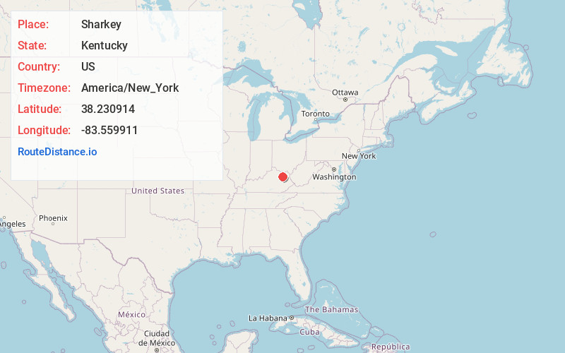
Full AddressSharkey, KY 41049
-
Coordinates38.2309135, -83.559911
-
LocationSharkey , Kentucky , US
-
TimezoneAmerica/New_York
-
Current Local Time11:34:52 PM America/New_YorkSunday, June 8, 2025
-
Page Views0
About Sharkey
Sharkey is a small unincorporated community located at the intersection of Kentucky Routes 158 and 801 in Rowan County, Kentucky, United States.
Nearby Places
Found 10 places within 50 miles

Colfax
4.2 mi
6.8 km
Colfax, KY 41049
Get directions
Farmers
6.1 mi
9.8 km
Farmers, KY 40351
Get directions
Lakeview Heights
6.3 mi
10.1 km
Lakeview Heights, KY 40351
Get directions

Morehead
7.7 mi
12.4 km
Morehead, KY 40351
Get directions
Sunset
8.0 mi
12.9 km
Sunset, KY 41049
Get directions

Salt Lick
8.2 mi
13.2 km
Salt Lick, KY 40371
Get directions
Cogswell
9.5 mi
15.3 km
Cogswell, KY 40313
Get directions

Owingsville
12.6 mi
20.3 km
Owingsville, KY 40360
Get directions
Sherburne
13.6 mi
21.9 km
Sherburne, KY 41041
Get directions
Ratliff
16.2 mi
26.1 km
Ratliff, KY 40322
Get directions
Location Links
Local Weather
Weather Information
Coming soon!
Location Map
Static map view of Sharkey, Kentucky
Browse Places by Distance
Places within specific distances from Sharkey
Short Distances
Long Distances
Click any distance to see all places within that range from Sharkey. Distances shown in miles (1 mile ≈ 1.61 kilometers).