Distance to Sharm El-Sheikh, South Sinai Governorate

Calculating Your Route
Just a moment while we process your request...
Location Information
-
Full AddressSharm El-Sheikh, Second Sharm Al Shiekh, South Sinai Governorate, Egypt
-
Coordinates27.9654198, 34.3617769
-
LocationSecond Sharm Al Shiekh , South Sinai Governorate , EG
-
TimezoneAfrica/Cairo
-
Current Local Time6:25:34 AM Africa/CairoSaturday, May 31, 2025
-
Page Views0
About Sharm El-Sheikh
Sharm el-Sheikh is an Egyptian resort town between the desert of the Sinai Peninsula and the Red Sea. It's known for its sheltered sandy beaches, clear waters and coral reefs. Naama Bay, with a palm tree-lined promenade, is filled with bars and restaurants. Ras Muhammad National Park is a major diving destination, with marine life around the Shark and Yolanda reefs and the Thistlegorm wreck.


Location Links
Local Weather
Weather Information
Coming soon!
Location Map
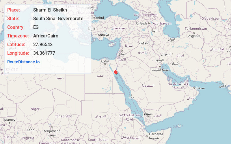
Static map view of Sharm El-Sheikh, South Sinai Governorate
Browse Places by Distance
Places within specific distances from Sharm El-Sheikh
Short Distances
Long Distances
Click any distance to see all places within that range from Sharm El-Sheikh. Distances shown in miles (1 mile ≈ 1.61 kilometers).