Distance to Shattuc, Illinois

Calculating Your Route
Just a moment while we process your request...
Location Information
-
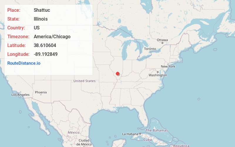
Full AddressShattuc, IL 62231
-
Coordinates38.6106043, -89.1928494
-
LocationShattuc , Illinois , US
-
TimezoneAmerica/Chicago
-
Current Local Time3:14:55 AM America/ChicagoMonday, June 2, 2025
-
Page Views0
About Shattuc
Shattuc is a village in Clinton County, Illinois, United States. It is located along a railroad line four miles west of Sandoval. Shattuc once had a post office, which closed on September 28, 2002.
Schools:
Shattuc children are bused to and from the Carlyle Community School system, located in Carlyle, Illinois.
Nearby Places
Found 10 places within 50 miles

Ferrin
2.2 mi
3.5 km
Ferrin, IL 62231
Get directions

Junction City
4.1 mi
6.6 km
Junction City, IL
Get directions

Sandoval
4.3 mi
6.9 km
Sandoval, IL 62882
Get directions
Huey
5.3 mi
8.5 km
Huey, IL
Get directions
Central City
5.6 mi
9.0 km
Central City, IL 62801
Get directions

Hoffman
6.1 mi
9.8 km
Hoffman, IL
Get directions
Boulder
6.2 mi
10.0 km
Boulder, IL 62231
Get directions

Centralia
6.6 mi
10.6 km
Centralia, IL 62801
Get directions

Wamac
7.6 mi
12.2 km
Wamac, IL 62801
Get directions

Odin
7.6 mi
12.2 km
Odin, IL 62870
Get directions
Location Links
Local Weather
Weather Information
Coming soon!
Location Map
Static map view of Shattuc, Illinois
Browse Places by Distance
Places within specific distances from Shattuc
Short Distances
Long Distances
Click any distance to see all places within that range from Shattuc. Distances shown in miles (1 mile ≈ 1.61 kilometers).