Distance to Shawnee, Wyoming

Calculating Your Route
Just a moment while we process your request...
Location Information
-
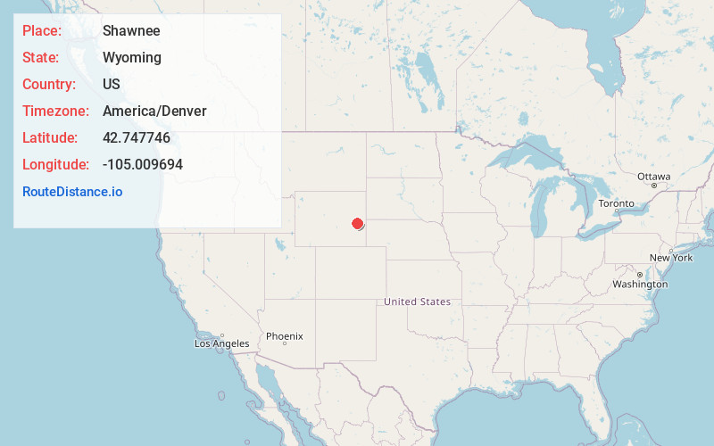
Full AddressShawnee, WY 82633
-
Coordinates42.7477457, -105.009694
-
LocationShawnee , Wyoming , US
-
TimezoneAmerica/Denver
-
Current Local Time1:27:01 PM America/DenverTuesday, June 3, 2025
-
Page Views0
About Shawnee
Shawnee is an unincorporated community in southeastern Converse County, Wyoming, United States. It lies along the concurrent U.S. Routes 18 and 20, east of the city of Douglas, the county seat of Converse County. Its elevation is 5,059 feet.
Nearby Places
Found 10 places within 50 miles

Lost Springs
4.5 mi
7.2 km
Lost Springs, WY 82229
Get directions

Ammon
10.4 mi
16.7 km
Ammon, WY 82633
Get directions

Orin
11.3 mi
18.2 km
Orin, WY 82633
Get directions

Glendo
16.9 mi
27.2 km
Glendo, WY 82213
Get directions

Douglas
18.9 mi
30.4 km
Douglas, WY 82633
Get directions

Manville
20.0 mi
32.2 km
Manville, WY 82227
Get directions

Lance Creek
27.1 mi
43.6 km
Lance Creek, WY
Get directions

Lusk
28.3 mi
45.5 km
Lusk, WY 82225
Get directions

Esterbrook
29.3 mi
47.2 km
Esterbrook, WY 82633
Get directions

Hartville
32.5 mi
52.3 km
Hartville, WY 82215
Get directions
Location Links
Local Weather
Weather Information
Coming soon!
Location Map
Static map view of Shawnee, Wyoming
Browse Places by Distance
Places within specific distances from Shawnee
Short Distances
Long Distances
Click any distance to see all places within that range from Shawnee. Distances shown in miles (1 mile ≈ 1.61 kilometers).