Distance to Shawneetown, Missouri

Calculating Your Route
Just a moment while we process your request...
Location Information
-
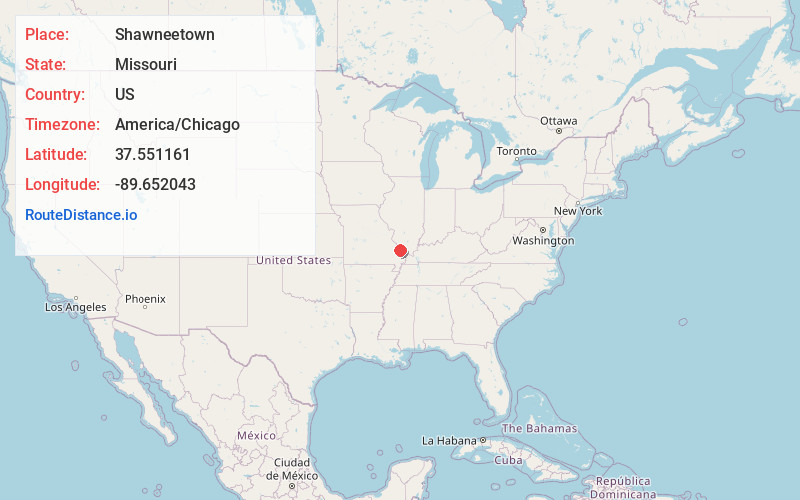
Full AddressShawneetown, MO 63755
-
Coordinates37.5511614, -89.6520429
-
LocationShawneetown , Missouri , US
-
TimezoneAmerica/Chicago
-
Current Local Time4:39:05 AM America/ChicagoWednesday, June 18, 2025
-
Page Views0
About Shawneetown
Shawneetown is an unincorporated community in Shawnee Township in northern Cape Girardeau County, Missouri, United States. It is located twenty miles north of Cape Girardeau and is part of the Cape Girardeau–Jackson, MO-IL Metropolitan Statistical Area.
Nearby Places
Found 10 places within 50 miles

Oak Ridge
5.5 mi
8.9 km
Oak Ridge, MO
Get directions
Frohna
6.3 mi
10.1 km
Frohna, MO 63748
Get directions

Altenburg
6.6 mi
10.6 km
Altenburg, MO
Get directions

Grand Tower
9.9 mi
15.9 km
Grand Tower, IL 62942
Get directions

Millersville
11.5 mi
18.5 km
Millersville, MO
Get directions

Jackson
11.7 mi
18.8 km
Jackson, MO 63755
Get directions

Gorham
14.7 mi
23.7 km
Gorham, IL 62940
Get directions

Perryville
16.6 mi
26.7 km
Perryville, MO 63775
Get directions
Gordonville
16.7 mi
26.9 km
Gordonville, MO
Get directions

Alto Pass
18.4 mi
29.6 km
Alto Pass, IL 62905
Get directions
Location Links
Local Weather
Weather Information
Coming soon!
Location Map
Static map view of Shawneetown, Missouri
Browse Places by Distance
Places within specific distances from Shawneetown
Short Distances
Long Distances
Click any distance to see all places within that range from Shawneetown. Distances shown in miles (1 mile ≈ 1.61 kilometers).