Distance to Shawnette, Tennessee

Calculating Your Route
Just a moment while we process your request...
Location Information
-
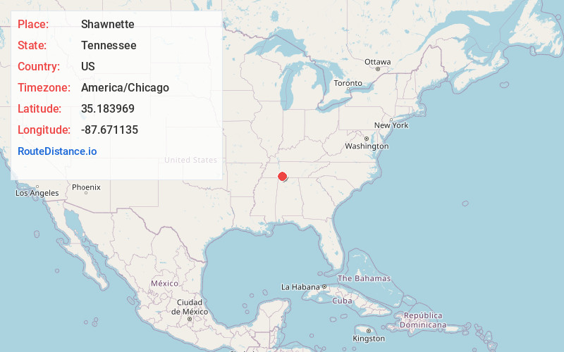
Full AddressShawnette, TN 38450
-
Coordinates35.1839694, -87.6711347
-
LocationTennessee , US
-
TimezoneAmerica/Chicago
-
Current Local Time6:28:27 PM America/ChicagoFriday, June 20, 2025
-
Page Views0
Nearby Places
Found 10 places within 50 miles

Collinwood
3.9 mi
6.3 km
Collinwood, TN 38450
Get directions

McGlamery Stand
4.9 mi
7.9 km
McGlamery Stand, Collinwood, TN 38450
Get directions
Bethlehem
5.1 mi
8.2 km
Bethlehem, TN 38486
Get directions
Geneva
5.1 mi
8.2 km
Geneva, TN 38486
Get directions
Upper Holly Creek
6.2 mi
10.0 km
Upper Holly Creek, TN 38486
Get directions
Lodi
7.2 mi
11.6 km
Lodi, TN 38486
Get directions
Sims Ridge
7.3 mi
11.7 km
Sims Ridge, TN 38486
Get directions
Westpoint
8.5 mi
13.7 km
Westpoint, TN 38486
Get directions
Lower Holly Creek
9.5 mi
15.3 km
Lower Holly Creek, TN 38463
Get directions
Chinubee
9.6 mi
15.4 km
Chinubee, TN 38486
Get directions
Location Links
Local Weather
Weather Information
Coming soon!
Location Map
Static map view of Shawnette, Tennessee
Browse Places by Distance
Places within specific distances from Shawnette
Short Distances
Long Distances
Click any distance to see all places within that range from Shawnette. Distances shown in miles (1 mile ≈ 1.61 kilometers).