Distance to Shell, Alabama

Calculating Your Route
Just a moment while we process your request...
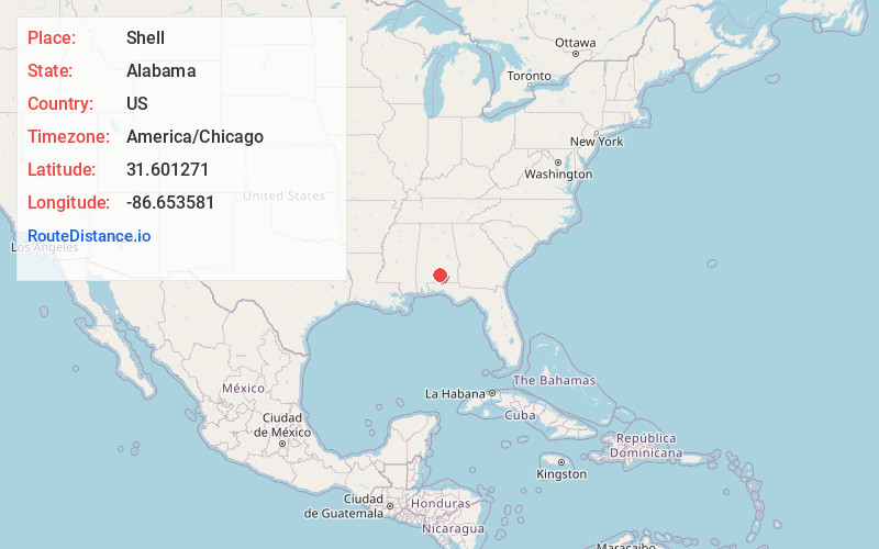
Location Information
-
Full AddressShell, AL 36033
-
Coordinates31.6012711, -86.6535812
-
LocationAlabama , US
-
TimezoneAmerica/Chicago
-
Current Local Time7:23:20 AM America/ChicagoFriday, June 20, 2025
-
Page Views0
Nearby Places
Found 10 places within 50 miles

Rhodes
2.7 mi
4.3 km
Rhodes, AL 36456
Get directions

McKenzie
5.4 mi
8.7 km
McKenzie, AL 36456
Get directions

Georgiana
5.8 mi
9.3 km
Georgiana, AL 36033
Get directions

Red Level
13.6 mi
21.9 km
Red Level, AL 36474
Get directions
Wilcox
14.6 mi
23.5 km
Wilcox, AL 36401
Get directions
Merrill Mill
14.8 mi
23.8 km
Merrill Mill, AL 36028
Get directions

Greenville
15.9 mi
25.6 km
Greenville, AL 36037
Get directions
Gantt
16.7 mi
26.9 km
Gantt, AL 36421
Get directions

Dozier
18.6 mi
29.9 km
Dozier, AL 36028
Get directions

River Falls
18.7 mi
30.1 km
River Falls, AL
Get directions
Location Links
Local Weather
Weather Information
Coming soon!
Location Map
Static map view of Shell, Alabama
Browse Places by Distance
Places within specific distances from Shell
Short Distances
Long Distances
Click any distance to see all places within that range from Shell. Distances shown in miles (1 mile ≈ 1.61 kilometers).