Distance to Shell Bluff, Georgia

Calculating Your Route
Just a moment while we process your request...
Location Information
-
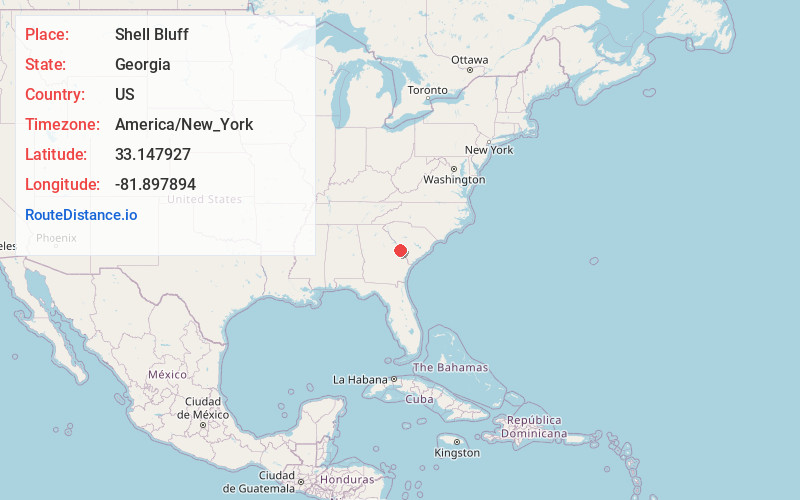
Full AddressShell Bluff, GA 30830
-
Coordinates33.1479272, -81.8978936
-
LocationShell Bluff , Georgia , US
-
TimezoneAmerica/New_York
-
Current Local Time6:50:02 AM America/New_YorkSaturday, June 21, 2025
-
Page Views0
Nearby Places
Found 10 places within 50 miles

Waynesboro
7.9 mi
12.7 km
Waynesboro, GA 30830
Get directions

Cowden
11.3 mi
18.2 km
Cowden, SC 29831
Get directions

Girard
13.1 mi
21.1 km
Girard, GA
Get directions
Hankinson
13.2 mi
21.2 km
Hankinson, SC 29831
Get directions
Kathwood
13.9 mi
22.4 km
Kathwood, SC 29831
Get directions
Munnerlyn
13.9 mi
22.4 km
Munnerlyn, GA 30830
Get directions

Jackson
14.3 mi
23.0 km
Jackson, SC 29831
Get directions

Sardis
14.4 mi
23.2 km
Sardis, GA 30456
Get directions
Browns Hill
14.7 mi
23.7 km
Browns Hill, SC 29831
Get directions
Dyes Crossroad
15.0 mi
24.1 km
Dyes Crossroad, GA 30805
Get directions
Location Links
Local Weather
Weather Information
Coming soon!
Location Map
Static map view of Shell Bluff, Georgia
Browse Places by Distance
Places within specific distances from Shell Bluff
Short Distances
Long Distances
Click any distance to see all places within that range from Shell Bluff. Distances shown in miles (1 mile ≈ 1.61 kilometers).