Distance to Shellbine, Georgia

Calculating Your Route
Just a moment while we process your request...
Location Information
-
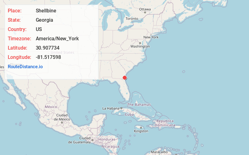
Full AddressShellbine, GA 31569
-
Coordinates30.9077344, -81.5175976
-
LocationGeorgia , US
-
TimezoneAmerica/New_York
-
Current Local Time5:21:52 AM America/New_YorkWednesday, June 18, 2025
-
Page Views0
Nearby Places
Found 10 places within 50 miles

Cabin Bluff
1.3 mi
2.1 km
Cabin Bluff, GA 31569
Get directions
Forestview
4.7 mi
7.6 km
Forestview, GA 31569
Get directions
Harrietts Bluff
4.8 mi
7.7 km
Harrietts Bluff, GA 31569
Get directions
Stafford
7.0 mi
11.3 km
Stafford, GA 31558
Get directions

Dover Bluff
7.6 mi
12.2 km
Dover Bluff, GA 31565
Get directions
Piney Bluff
7.8 mi
12.6 km
Piney Bluff, GA 31565
Get directions
Ceylon
8.7 mi
14.0 km
Ceylon, GA 31565
Get directions
Billyville
9.8 mi
15.8 km
Billyville, GA 31569
Get directions
Kinlaw
10.3 mi
16.6 km
Kinlaw, Kingsland, GA 31569
Get directions
Scotchville
11.3 mi
18.2 km
Scotchville, Kingsland, GA 31548
Get directions
Location Links
Local Weather
Weather Information
Coming soon!
Location Map
Static map view of Shellbine, Georgia
Browse Places by Distance
Places within specific distances from Shellbine
Short Distances
Long Distances
Click any distance to see all places within that range from Shellbine. Distances shown in miles (1 mile ≈ 1.61 kilometers).