Distance to Shellmound, Mississippi

Calculating Your Route
Just a moment while we process your request...
Location Information
-
Full AddressShellmound, MS 38930
-
Coordinates33.6065072, -90.2798073
-
LocationMississippi , US
-
TimezoneAmerica/Chicago
-
Current Local Time3:07:10 PM America/ChicagoSunday, June 22, 2025
-
Page Views0
About Shellmound
Shellmound is an unincorporated community located in Leflore County, Mississippi, United States, located approximately 6 miles north of Greenwood and approximately 6 miles southeast of Schlater near U.S. Highway 49E.
It is part of the Greenwood, Mississippi micropolitan area.
Nearby Places
Found 10 places within 50 miles

Schlater
4.6 mi
7.4 km
Schlater, MS 38952
Get directions
Mississippi Valley State University
7.1 mi
11.4 km
Mississippi Valley State University, MS 38941
Get directions

Itta Bena
8.0 mi
12.9 km
Itta Bena, MS 38941
Get directions

Greenwood
8.5 mi
13.7 km
Greenwood, MS
Get directions
Roebuck
11.5 mi
18.5 km
Roebuck, MS 38954
Get directions

Sidon
14.3 mi
23.0 km
Sidon, MS 38954
Get directions
Doddsville
14.5 mi
23.3 km
Doddsville, MS 38736
Get directions

Glendora
15.4 mi
24.8 km
Glendora, MS 38928
Get directions
Sunflower
15.4 mi
24.8 km
Sunflower, MS 38778
Get directions

Morgan City
16.1 mi
25.9 km
Morgan City, MS
Get directions
Location Links
Local Weather
Weather Information
Coming soon!
Location Map
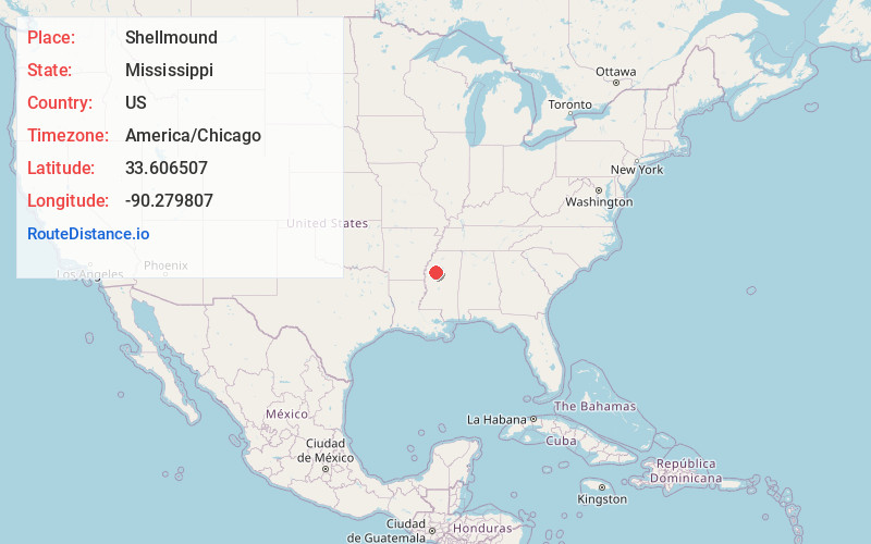
Static map view of Shellmound, Mississippi
Browse Places by Distance
Places within specific distances from Shellmound
Short Distances
Long Distances
Click any distance to see all places within that range from Shellmound. Distances shown in miles (1 mile ≈ 1.61 kilometers).