Distance to Shelton, Nebraska

Calculating Your Route
Just a moment while we process your request...
Location Information
-
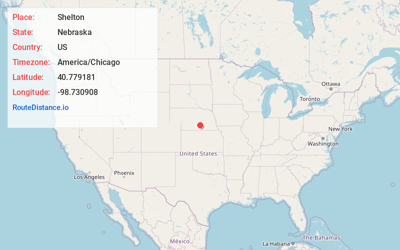
Full AddressShelton, NE
-
Coordinates40.7791808, -98.7309078
-
LocationShelton , Nebraska , US
-
TimezoneAmerica/Chicago
-
Current Local Time9:37:18 AM America/ChicagoFriday, June 13, 2025
-
Page Views0
About Shelton
Shelton is a village in Buffalo and Hall counties, Nebraska, United States. It is part of the Kearney, Nebraska Micropolitan Statistical Area. The population was 1,059 at the 2010 census. It is located west of Grand Island along both the Union Pacific Railroad and U.S. Route 30.
Nearby Places
Found 10 places within 50 miles

Gibbon
6.4 mi
10.3 km
Gibbon, NE 68840
Get directions

Wood River
7.4 mi
11.9 km
Wood River, NE 68883
Get directions

Kearney
19.2 mi
30.9 km
Kearney, NE
Get directions

Ravenna
19.5 mi
31.4 km
Ravenna, NE 68869
Get directions

Hastings
22.3 mi
35.9 km
Hastings, NE
Get directions

Minden
22.5 mi
36.2 km
Minden, NE
Get directions

Grand Island
22.7 mi
36.5 km
Grand Island, NE
Get directions

St Paul
33.3 mi
53.6 km
St Paul, NE 68873
Get directions

Aurora
38.5 mi
62.0 km
Aurora, NE 68818
Get directions

Holdrege
40.9 mi
65.8 km
Holdrege, NE 68949
Get directions
Location Links
Local Weather
Weather Information
Coming soon!
Location Map
Static map view of Shelton, Nebraska
Browse Places by Distance
Places within specific distances from Shelton
Short Distances
Long Distances
Click any distance to see all places within that range from Shelton. Distances shown in miles (1 mile ≈ 1.61 kilometers).