Distance to Shenandoah, Iowa

Calculating Your Route
Just a moment while we process your request...
Location Information
-
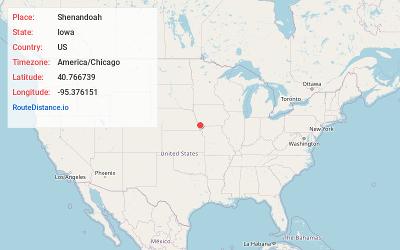
Full AddressShenandoah, IA 51601
-
Coordinates40.7667389, -95.3761506
-
LocationShenandoah , Iowa , US
-
TimezoneAmerica/Chicago
-
Current Local Time7:40:45 AM America/ChicagoTuesday, June 3, 2025
-
Page Views0
About Shenandoah
Shenandoah is a city in Page and Fremont counties in Iowa, United States. The population was 4,925 at the time of the 2020 U.S. Census. Once referred to as the "seed and nursery center of the world," Shenandoah is the home to Earl May Seed Company and the radio station KMA, founded by Earl E. May.


Nearby Places
Found 10 places within 50 miles

Clarinda
17.8 mi
28.6 km
Clarinda, IA 51632
Get directions

Red Oak
19.1 mi
30.7 km
Red Oak, IA 51566
Get directions

Nebraska City
26.1 mi
42.0 km
Nebraska City, NE 68410
Get directions

Glenwood
27.2 mi
43.8 km
Glenwood, IA 51534
Get directions

Plattsmouth
31.3 mi
50.4 km
Plattsmouth, NE 68048
Get directions

Offutt AFB
37.4 mi
60.2 km
Offutt AFB, NE
Get directions

Maryville
39.3 mi
63.2 km
Maryville, MO 64468
Get directions

Bellevue
39.4 mi
63.4 km
Bellevue, NE
Get directions

Council Bluffs
42.5 mi
68.4 km
Council Bluffs, IA
Get directions

Papillion
43.9 mi
70.7 km
Papillion, NE
Get directions
Location Links
Local Weather
Weather Information
Coming soon!
Location Map
Static map view of Shenandoah, Iowa
Browse Places by Distance
Places within specific distances from Shenandoah
Short Distances
Long Distances
Click any distance to see all places within that range from Shenandoah. Distances shown in miles (1 mile ≈ 1.61 kilometers).