Distance to Shepherd, Montana

Calculating Your Route
Just a moment while we process your request...
Location Information
-
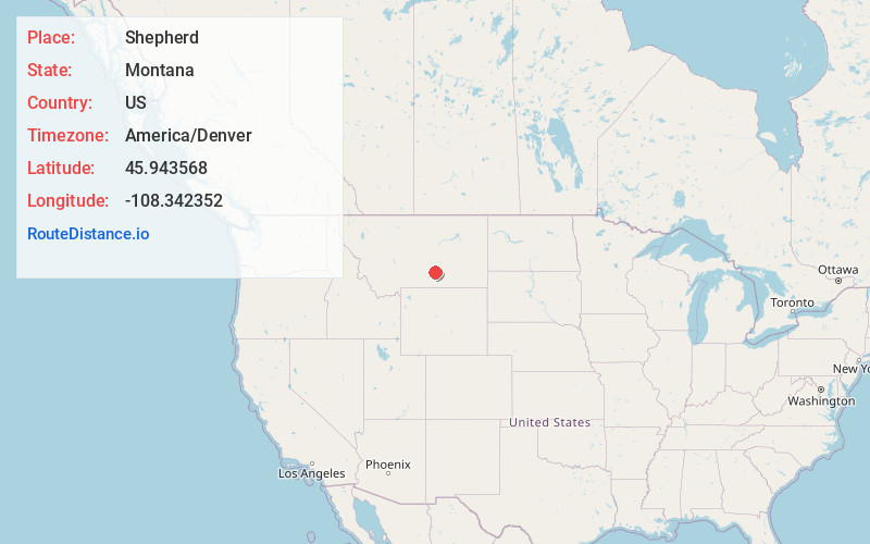
Full AddressShepherd, MT 59079
-
Coordinates45.943568, -108.3423515
-
LocationShepherd , Montana , US
-
TimezoneAmerica/Denver
-
Current Local Time3:25:04 AM America/DenverWednesday, June 18, 2025
-
Page Views0
About Shepherd
Shepherd is a census-designated place in Yellowstone County, Montana, United States. The population was 193 at the 2000 census. Shepherd is a Billings suburb located to the northeast. The unincorporated town was named after R.E.


Nearby Places
Found 8 places within 50 miles

Lockwood
9.3 mi
15.0 km
Lockwood, MT
Get directions

Billings
13.6 mi
21.9 km
Billings, MT
Get directions

Laurel
28.1 mi
45.2 km
Laurel, MT 59044
Get directions

Park City
35.1 mi
56.5 km
Park City, MT 59063
Get directions

Roundup
36.0 mi
57.9 km
Roundup, MT 59072
Get directions

Hardin
38.1 mi
61.3 km
Hardin, MT 59034
Get directions

Crow Agency
48.4 mi
77.9 km
Crow Agency, MT 59022
Get directions

Columbus
48.6 mi
78.2 km
Columbus, MT 59019
Get directions
Location Links
Local Weather
Weather Information
Coming soon!
Location Map
Static map view of Shepherd, Montana
Browse Places by Distance
Places within specific distances from Shepherd
Short Distances
Long Distances
Click any distance to see all places within that range from Shepherd. Distances shown in miles (1 mile ≈ 1.61 kilometers).