Distance to Shepherdstown, Pennsylvania

Calculating Your Route
Just a moment while we process your request...
Location Information
-
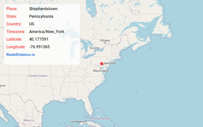
Full AddressShepherdstown, PA 17055
-
Coordinates40.1775909, -76.9913652
-
LocationShepherdstown , Pennsylvania , US
-
TimezoneAmerica/New_York
-
Current Local Time9:12:15 AM America/New_YorkTuesday, June 10, 2025
-
Page Views0
About Shepherdstown
Shepherdstown is an unincorporated community that is located in Upper Allen Township, Cumberland County, Pennsylvania, United States. It is situated just south of Mechanicsburg and is home to the Union Hotel that was built in 1860 by Abraham Zook and listed on the National Register of Historic Places in 1989.
Nearby Places
Found 10 places within 50 miles

Upper Allen Township
0.5 mi
0.8 km
Upper Allen Township, PA 17055
Get directions

Mt Allen
0.9 mi
1.4 km
Mt Allen, PA 17055
Get directions
Nantilly
1.3 mi
2.1 km
Nantilly, Upper Allen Township, PA 17055
Get directions
Winding Heights
1.4 mi
2.3 km
Winding Heights, Upper Allen Township, PA 17055
Get directions
Rosegarden
2.3 mi
3.7 km
Rosegarden, Carroll Township, PA 17019
Get directions

Mechanicsburg
2.6 mi
4.2 km
Mechanicsburg, PA
Get directions
Rossmoyne
2.9 mi
4.7 km
Rossmoyne, Lower Allen Township, PA 17055
Get directions
Williams Grove
2.9 mi
4.7 km
Williams Grove, PA 17055
Get directions
Howell
3.4 mi
5.5 km
Howell, Hampden Township, PA 17050
Get directions
Shiremanstown
3.7 mi
6.0 km
Shiremanstown, PA 17011
Get directions
Location Links
Local Weather
Weather Information
Coming soon!
Location Map
Static map view of Shepherdstown, Pennsylvania
Browse Places by Distance
Places within specific distances from Shepherdstown
Short Distances
Long Distances
Click any distance to see all places within that range from Shepherdstown. Distances shown in miles (1 mile ≈ 1.61 kilometers).