Distance to Sherando, Virginia

Calculating Your Route
Just a moment while we process your request...
Location Information
-
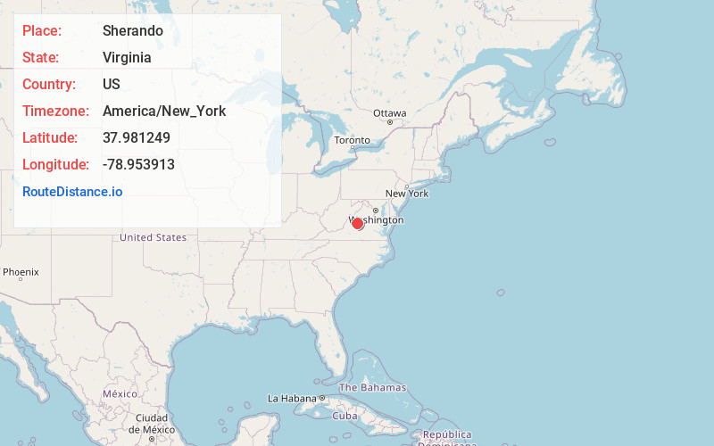
Full AddressSherando, VA
-
Coordinates37.981249, -78.9539128
-
LocationSherando , Virginia , US
-
TimezoneAmerica/New_York
-
Current Local Time9:00:19 AM America/New_YorkTuesday, June 17, 2025
-
Page Views0
About Sherando
Sherando is a census-designated place in Augusta County, Virginia, United States. The population was 688 at the 2010 census. It is part of the Staunton–Waynesboro Micropolitan Statistical Area.


Nearby Places
Found 10 places within 50 miles

Lyndhurst
3.4 mi
5.5 km
Lyndhurst, VA
Get directions

Stuarts Draft
5.5 mi
8.9 km
Stuarts Draft, VA
Get directions

Waynesboro
7.0 mi
11.3 km
Waynesboro, VA 22980
Get directions

Afton
7.2 mi
11.6 km
Afton, VA 22920
Get directions

Wintergreen
7.3 mi
11.7 km
Wintergreen, VA 22958
Get directions

Nellysford
7.7 mi
12.4 km
Nellysford, VA
Get directions

Fishersville
8.2 mi
13.2 km
Fishersville, VA
Get directions

Dooms
10.1 mi
16.3 km
Dooms, VA 22980
Get directions


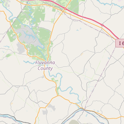
Leaflet © OpenStreetMap contributors
Location Links
Local Weather
Weather Information
Coming soon!
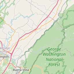
Location Map
Static map view of Sherando, Virginia
Browse Places by Distance
Places within specific distances from Sherando
Short Distances
Long Distances
Click any distance to see all places within that range from Sherando. Distances shown in miles (1 mile ≈ 1.61 kilometers).