Distance to Sheridan, Missouri

Calculating Your Route
Just a moment while we process your request...
Location Information
-
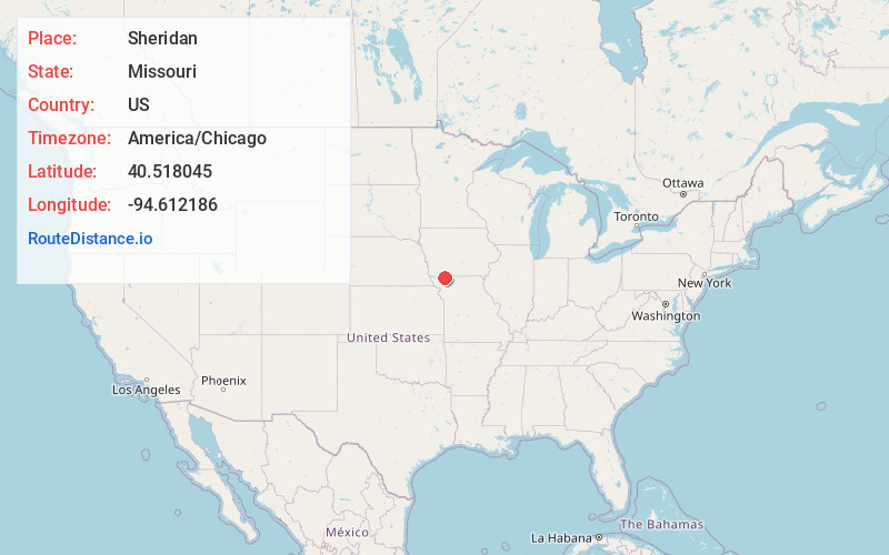
Full AddressSheridan, MO 64486
-
Coordinates40.5180449, -94.6121861
-
LocationSheridan , Missouri , US
-
TimezoneAmerica/Chicago
-
Current Local Time4:35:22 PM America/ChicagoMonday, May 19, 2025
-
Page Views0
About Sheridan
Sheridan is a city in northwest Worth County, Missouri, United States, near the Platte River. The population was 145 at the 2020 census.


Nearby Places
Found 10 places within 50 miles

Parnell
5.4 mi
8.7 km
Parnell, MO 64475
Get directions
Grant City
10.8 mi
17.4 km
Grant City, MO 64456
Get directions
Hopkins
11.1 mi
17.9 km
Hopkins, MO 64461
Get directions

Bedford
11.8 mi
19.0 km
Bedford, IA 50833
Get directions
Ravenwood
11.9 mi
19.2 km
Ravenwood, MO 64479
Get directions
Conception Junction
17.8 mi
28.6 km
Conception Junction, MO 64434
Get directions

Maryville
18.1 mi
29.1 km
Maryville, MO 64468
Get directions
Clearfield
20.8 mi
33.5 km
Clearfield, IA 50840
Get directions

New Market
21.1 mi
34.0 km
New Market, IA 51646
Get directions
Stanberry
21.1 mi
34.0 km
Stanberry, MO 64489
Get directions
Location Links
Local Weather
Weather Information
Coming soon!
Location Map
Static map view of Sheridan, Missouri
Browse Places by Distance
Places within specific distances from Sheridan
Short Distances
Long Distances
Click any distance to see all places within that range from Sheridan. Distances shown in miles (1 mile ≈ 1.61 kilometers).