Distance to Sheridan, Texas

Calculating Your Route
Just a moment while we process your request...
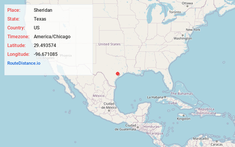
Location Information
-
Full AddressSheridan, TX
-
Coordinates29.4935743, -96.6710854
-
LocationSheridan , Texas , US
-
TimezoneAmerica/Chicago
-
Current Local Time10:49:25 AM America/ChicagoThursday, June 19, 2025
-
Page Views0
About Sheridan
Sheridan is an unincorporated community and census designated place in Colorado County, Texas, United States.
Nearby Places
Found 10 places within 50 miles

Rock Island
6.4 mi
10.3 km
Rock Island, TX
Get directions
Glidden
15.2 mi
24.5 km
Glidden, TX
Get directions

Weimar
15.9 mi
25.6 km
Weimar, TX 78962
Get directions

Hallettsville
16.6 mi
26.7 km
Hallettsville, TX 77964
Get directions

Columbus
16.7 mi
26.9 km
Columbus, TX
Get directions

Garwood
16.8 mi
27.0 km
Garwood, TX
Get directions
Nada
18.2 mi
29.3 km
Nada, TX
Get directions

Schulenburg
19.1 mi
30.7 km
Schulenburg, TX 78956
Get directions

Eagle Lake
21.3 mi
34.3 km
Eagle Lake, TX 77434
Get directions

Ellinger
23.9 mi
38.5 km
Ellinger, TX
Get directions
Location Links
Local Weather
Weather Information
Coming soon!
Location Map
Static map view of Sheridan, Texas
Browse Places by Distance
Places within specific distances from Sheridan
Short Distances
Long Distances
Click any distance to see all places within that range from Sheridan. Distances shown in miles (1 mile ≈ 1.61 kilometers).