Distance to Sheridan, Wyoming

Calculating Your Route
Just a moment while we process your request...
Location Information
-
Full AddressSheridan, WY 82801
-
Coordinates44.7971939, -106.9561791
-
LocationSheridan , Wyoming , US
-
TimezoneAmerica/Denver
-
Current Local Time3:29:42 AM America/DenverWednesday, June 18, 2025
-
Website
-
Page Views0
About Sheridan
Sheridan is a city in the U.S. state of Wyoming and the county seat of Sheridan County. The city is located halfway between Yellowstone Park and Mount Rushmore by U.S. Route 14 and 16. It is the principal town of the Sheridan, Wyoming, Micropolitan Statistical Area which encompasses all of Sheridan County.


Location Links
Local Weather
Weather Information
Coming soon!
Location Map
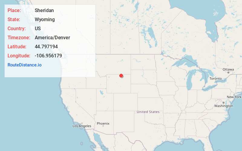
Static map view of Sheridan, Wyoming
Browse Places by Distance
Places within specific distances from Sheridan
Short Distances
Long Distances
Click any distance to see all places within that range from Sheridan. Distances shown in miles (1 mile ≈ 1.61 kilometers).