Distance to Sherlock Township, Kansas

Calculating Your Route
Just a moment while we process your request...
Location Information
-
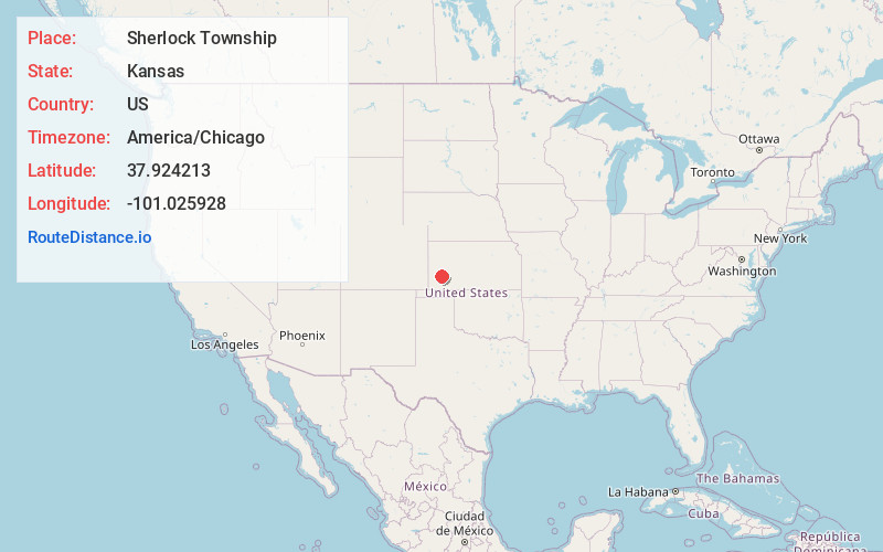
Full AddressSherlock Township, KS
-
Coordinates37.9242129, -101.0259275
-
LocationSherlock Township , Kansas , US
-
TimezoneAmerica/Chicago
-
Current Local Time1:35:05 AM America/ChicagoWednesday, June 25, 2025
-
Page Views0
About Sherlock Township
Sherlock Township is a township in Finney County, Kansas, United States. As of the 2000 census, its population was 2,758.

Nearby Places
Found 10 places within 50 miles

Holcomb
4.7 mi
7.6 km
Holcomb, KS 67851
Get directions

Quinby
6.9 mi
11.1 km
Quinby, Garden City Township, KS 67846
Get directions
Deerfield
7.0 mi
11.3 km
Deerfield, KS 67838
Get directions
Rodkey
7.5 mi
12.1 km
Rodkey, Sherlock Township, KS 67846
Get directions
Ritchal
7.5 mi
12.1 km
Ritchal, Sherlock Township, KS 67851
Get directions
Peterson
7.6 mi
12.2 km
Peterson, KS 67851
Get directions
Lowe
7.7 mi
12.4 km
Lowe, Sherlock Township, KS 67851
Get directions
Wolf
8.4 mi
13.5 km
Wolf, KS 67838
Get directions

Garden City
9.0 mi
14.5 km
Garden City, KS 67846
Get directions
Plymell
11.6 mi
18.7 km
Plymell, Ivanhoe Township, KS 67846
Get directions
Location Links
Local Weather
Weather Information
Coming soon!
Location Map
Static map view of Sherlock Township, Kansas
Browse Places by Distance
Places within specific distances from Sherlock Township
Short Distances
Long Distances
Click any distance to see all places within that range from Sherlock Township. Distances shown in miles (1 mile ≈ 1.61 kilometers).