Distance to Sherman, Connecticut

Calculating Your Route
Just a moment while we process your request...
Location Information
-
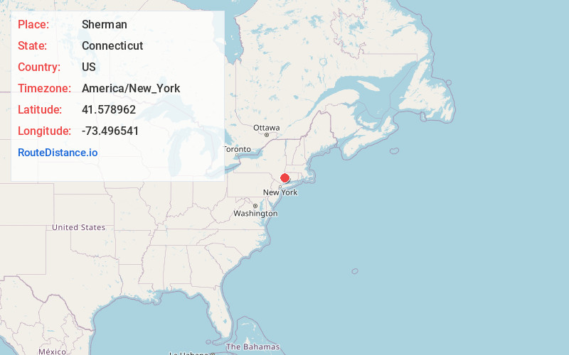
Full AddressSherman, CT 06784
-
Coordinates41.5789618, -73.496541
-
LocationSherman , Connecticut , US
-
TimezoneAmerica/New_York
-
Current Local Time12:27:50 PM America/New_YorkMonday, June 23, 2025
-
Website
-
Page Views0
About Sherman
Sherman is the northernmost and least populous town of Fairfield County, Connecticut, United States. The population was 3,527 at the 2020 census. The town is part of the Western Connecticut Planning Region. The town was formed in 1802 from the northern part of New Fairfield.


Nearby Places
Found 10 places within 50 miles

Indian Field
3.8 mi
6.1 km
Indian Field, New Milford, CT 06776
Get directions

Pawling
5.6 mi
9.0 km
Pawling, NY 12564
Get directions

Wingdale
5.9 mi
9.5 km
Wingdale, NY 12594
Get directions

Patterson
7.2 mi
11.6 km
Patterson, NY 12563
Get directions

Bridgewater
7.4 mi
11.9 km
Bridgewater, CT 06752
Get directions

Putnam Lake
8.5 mi
13.7 km
Putnam Lake, NY
Get directions
Bell Hill
11.0 mi
17.7 km
Bell Hill, Washington, CT 06793
Get directions
Union Vale
11.3 mi
18.2 km
Union Vale, NY
Get directions

Beekman
11.4 mi
18.3 km
Beekman, NY 12533
Get directions

Dover Plains
11.9 mi
19.2 km
Dover Plains, NY 12522
Get directions
Location Links
Local Weather
Weather Information
Coming soon!
Location Map
Static map view of Sherman, Connecticut
Browse Places by Distance
Places within specific distances from Sherman
Short Distances
Long Distances
Click any distance to see all places within that range from Sherman. Distances shown in miles (1 mile ≈ 1.61 kilometers).