Distance to Sherman, New Mexico

Calculating Your Route
Just a moment while we process your request...
Location Information
-
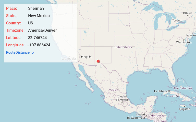
Full AddressSherman, NM 88041
-
Coordinates32.7467441, -107.8864242
-
LocationSherman , New Mexico , US
-
TimezoneAmerica/Denver
-
Current Local Time11:36:38 AM America/DenverMonday, June 23, 2025
-
Page Views0
About Sherman
Sherman is an unincorporated community in Grant County, New Mexico, United States. Sherman is located on New Mexico State Road 61, 23 miles east of Silver City.
The George O. Perrault House and the San Juan Teacherage, which are listed on the National Register of Historic Places, are located in Sherman.
Nearby Places
Found 10 places within 50 miles

San Lorenzo
4.8 mi
7.7 km
San Lorenzo, NM 88041
Get directions

Faywood
8.4 mi
13.5 km
Faywood, NM 88041
Get directions

Mimbres
9.3 mi
15.0 km
Mimbres, NM
Get directions

Hanover
12.8 mi
20.6 km
Hanover, NM 88041
Get directions
North Hurley
14.4 mi
23.2 km
North Hurley, NM 88043
Get directions

Santa Clara
15.7 mi
25.3 km
Santa Clara, NM
Get directions

Kingston
15.7 mi
25.3 km
Kingston, NM 88042
Get directions

Arenas Valley
18.6 mi
29.9 km
Arenas Valley, NM
Get directions
Lake Valley
18.6 mi
29.9 km
Lake Valley, NM 88042
Get directions
Rosedale
20.6 mi
33.2 km
Rosedale, NM 88061
Get directions
Location Links
Local Weather
Weather Information
Coming soon!
Location Map
Static map view of Sherman, New Mexico
Browse Places by Distance
Places within specific distances from Sherman
Short Distances
Long Distances
Click any distance to see all places within that range from Sherman. Distances shown in miles (1 mile ≈ 1.61 kilometers).