Distance to Sherrill, Arkansas

Calculating Your Route
Just a moment while we process your request...
Location Information
-
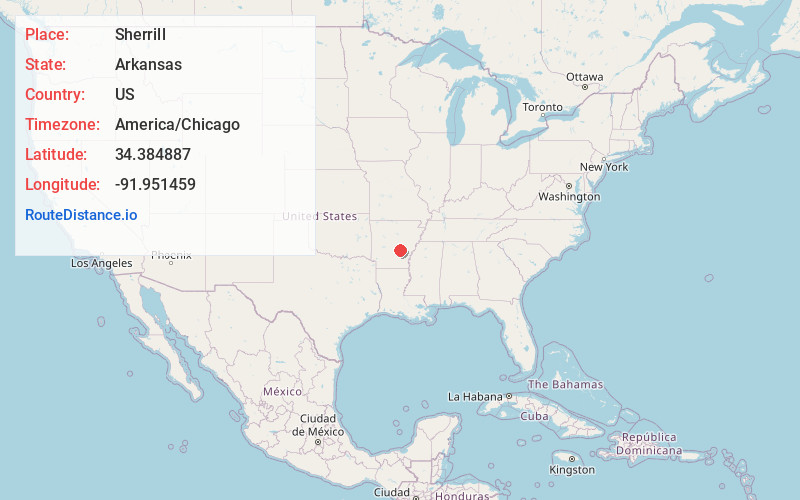
Full AddressSherrill, AR 72152
-
Coordinates34.3848871, -91.9514585
-
LocationSherrill , Arkansas , US
-
TimezoneAmerica/Chicago
-
Current Local Time7:18:31 PM America/ChicagoFriday, June 20, 2025
-
Page Views0
About Sherrill
Sherrill is a town in Plum Bayou Township, Jefferson County, Arkansas, United States. Its population was 84 at the 2010 U.S. census. It is included in the Pine Bluff, Arkansas Metropolitan Statistical Area.
Nearby Places
Found 10 places within 50 miles

Altheimer
7.5 mi
12.1 km
Altheimer, AR 72004
Get directions
Wabbaseka
9.0 mi
14.5 km
Wabbaseka, AR
Get directions

England
11.0 mi
17.7 km
England, AR 72046
Get directions

White Hall
11.1 mi
17.9 km
White Hall, AR 71602
Get directions

Pine Bluff
11.4 mi
18.3 km
Pine Bluff, AR
Get directions

Redfield
13.9 mi
22.4 km
Redfield, AR
Get directions

Humphrey
14.2 mi
22.9 km
Humphrey, AR
Get directions

Keo
15.4 mi
24.8 km
Keo, AR 72046
Get directions

Woodson
17.8 mi
28.6 km
Woodson, AR 72180
Get directions

Wrightsville
22.1 mi
35.6 km
Wrightsville, AR 72206
Get directions
Location Links
Local Weather
Weather Information
Coming soon!
Location Map
Static map view of Sherrill, Arkansas
Browse Places by Distance
Places within specific distances from Sherrill
Short Distances
Long Distances
Click any distance to see all places within that range from Sherrill. Distances shown in miles (1 mile ≈ 1.61 kilometers).