Distance to Sherwood, Iowa

Calculating Your Route
Just a moment while we process your request...
Location Information
-
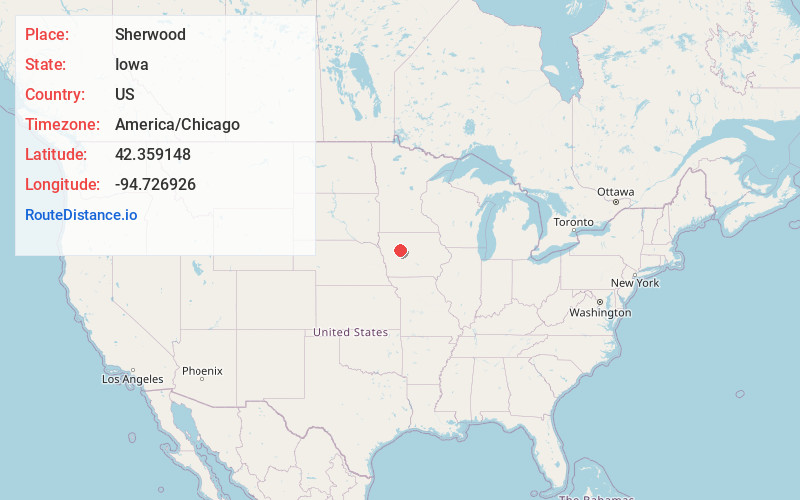
Full AddressSherwood, IA 50579
-
Coordinates42.3591477, -94.7269256
-
LocationSherwood , Iowa , US
-
TimezoneAmerica/Chicago
-
Current Local Time4:02:19 AM America/ChicagoThursday, May 22, 2025
-
Page Views0
About Sherwood
Sherwood is an unincorporated community in Calhoun County, Iowa, in the United States.
Nearby Places
Found 10 places within 50 miles

Calhoun County
4.4 mi
7.1 km
Calhoun County, IA
Get directions
Rockwell City
5.4 mi
8.7 km
Rockwell City, IA 50579
Get directions

Lake City
6.3 mi
10.1 km
Lake City, IA 51449
Get directions

Yetter
6.8 mi
10.9 km
Yetter, IA
Get directions
Lytton
8.1 mi
13.0 km
Lytton, IA 50561
Get directions
Jolley
8.3 mi
13.4 km
Jolley, IA 50551
Get directions
Twin Lakes
9.2 mi
14.8 km
Twin Lakes, IA
Get directions

Auburn
10.7 mi
17.2 km
Auburn, IA 51433
Get directions
Lohrville
11.0 mi
17.7 km
Lohrville, IA 51453
Get directions

Knoke
11.1 mi
17.9 km
Knoke, IA 50575
Get directions
Location Links
Local Weather
Weather Information
Coming soon!
Location Map
Static map view of Sherwood, Iowa
Browse Places by Distance
Places within specific distances from Sherwood
Short Distances
Long Distances
Click any distance to see all places within that range from Sherwood. Distances shown in miles (1 mile ≈ 1.61 kilometers).