Distance to Sherwood, Wisconsin

Calculating Your Route
Just a moment while we process your request...
Location Information
-
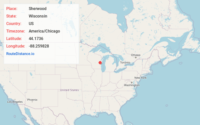
Full AddressSherwood, WI
-
Coordinates44.1735996, -88.2598276
-
LocationSherwood , Wisconsin , US
-
TimezoneAmerica/Chicago
-
Current Local Time8:52:32 AM America/ChicagoWednesday, June 4, 2025
-
Page Views0
About Sherwood
Sherwood is a village in Calumet County, Wisconsin, United States. The population was 2,713 at the 2010 census. The former historical unincorporated community of High Cliff is located within present-day Sherwood.

Nearby Places
Found 10 places within 50 miles

Harrison
5.2 mi
8.4 km
Harrison, WI
Get directions

Combined Locks
6.9 mi
11.1 km
Combined Locks, WI
Get directions

Kaukauna
7.2 mi
11.6 km
Kaukauna, WI 54130
Get directions

Kimberly
7.9 mi
12.7 km
Kimberly, WI
Get directions

Little Chute
7.9 mi
12.7 km
Little Chute, WI
Get directions

Menasha
9.5 mi
15.3 km
Menasha, WI
Get directions

Appleton
9.5 mi
15.3 km
Appleton, WI
Get directions

Brillion
9.7 mi
15.6 km
Brillion, WI 54110
Get directions

Neenah
10.1 mi
16.3 km
Neenah, WI 54956
Get directions
Chilton
11.1 mi
17.9 km
Chilton, WI 53014
Get directions
Location Links
Local Weather
Weather Information
Coming soon!
Location Map
Static map view of Sherwood, Wisconsin
Browse Places by Distance
Places within specific distances from Sherwood
Short Distances
Long Distances
Click any distance to see all places within that range from Sherwood. Distances shown in miles (1 mile ≈ 1.61 kilometers).