Distance to Sherwood, Texas

Calculating Your Route
Just a moment while we process your request...
Location Information
-
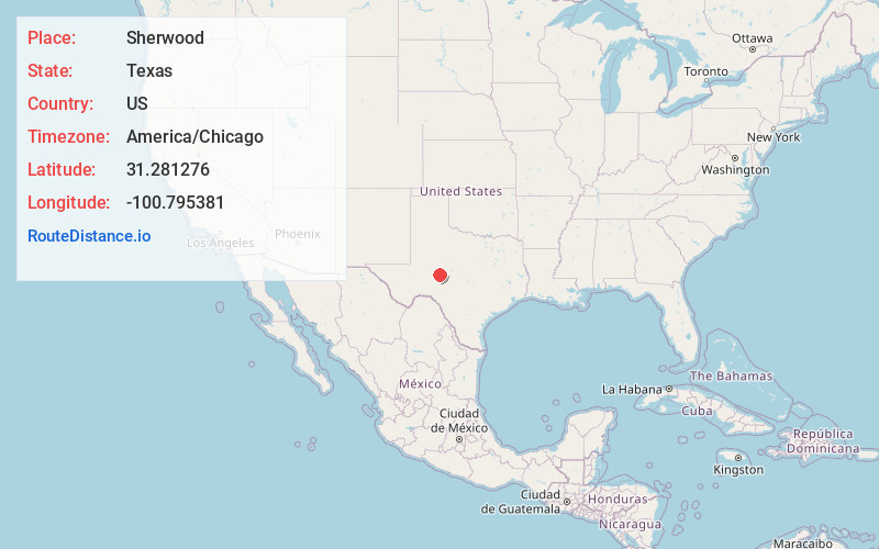
Full AddressSherwood, TX 76941
-
Coordinates31.2812757, -100.7953813
-
LocationSherwood , Texas , US
-
TimezoneAmerica/Chicago
-
Current Local Time5:24:20 AM America/ChicagoFriday, May 30, 2025
-
Page Views0
About Sherwood
Sherwood is an unincorporated community in Irion County, Texas, United States. It served as the county seat until 1939, when it was supplanted by neighboring Mertzon.
Nearby Places
Found 10 places within 50 miles

Mertzon
1.9 mi
3.1 km
Mertzon, TX 76941
Get directions

Christoval
18.5 mi
29.8 km
Christoval, TX 76935
Get directions

Carlsbad
24.1 mi
38.8 km
Carlsbad, TX
Get directions

San Angelo
24.6 mi
39.6 km
San Angelo, TX
Get directions

Grape Creek
26.0 mi
41.8 km
Grape Creek, TX 76901
Get directions

Eldorado
31.3 mi
50.4 km
Eldorado, TX 76936
Get directions

Big Lake
39.8 mi
64.1 km
Big Lake, TX 76932
Get directions

Sterling City
39.9 mi
64.2 km
Sterling City, TX 76951
Get directions
Vick
41.7 mi
67.1 km
Vick, TX 76955
Get directions

Miles
42.2 mi
67.9 km
Miles, TX 76861
Get directions
Location Links
Local Weather
Weather Information
Coming soon!
Location Map
Static map view of Sherwood, Texas
Browse Places by Distance
Places within specific distances from Sherwood
Short Distances
Long Distances
Click any distance to see all places within that range from Sherwood. Distances shown in miles (1 mile ≈ 1.61 kilometers).