Distance to Sherwood, Ohio

Calculating Your Route
Just a moment while we process your request...
Location Information
-
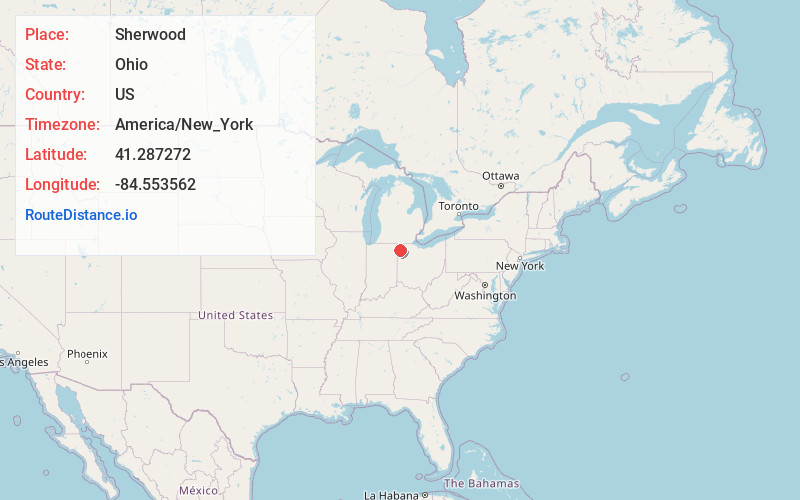
Full AddressSherwood, OH 43556
-
Coordinates41.2872723, -84.5535617
-
LocationSherwood , Ohio , US
-
TimezoneAmerica/New_York
-
Current Local Time7:07:23 AM America/New_YorkMonday, June 2, 2025
-
Page Views0
About Sherwood
Sherwood is a village in Defiance County, Ohio, United States. The population was 802 at the 2020 census.


Nearby Places
Found 10 places within 50 miles

Defiance
10.3 mi
16.6 km
Defiance, OH 43512
Get directions

Paulding
10.4 mi
16.7 km
Paulding, OH 45879
Get directions

Bryan
13.0 mi
20.9 km
Bryan, OH 43506
Get directions

Archbold
20.6 mi
33.2 km
Archbold, OH 43502
Get directions

Montpelier
20.7 mi
33.3 km
Montpelier, OH 43543
Get directions

Napoleon
23.4 mi
37.7 km
Napoleon, OH 43545
Get directions

Leo-Cedarville
24.6 mi
39.6 km
Leo-Cedarville, IN
Get directions

Auburn
26.8 mi
43.1 km
Auburn, IN
Get directions

Wauseon
28.0 mi
45.1 km
Wauseon, OH 43567
Get directions

New Haven
28.3 mi
45.5 km
New Haven, IN
Get directions
Location Links
Local Weather
Weather Information
Coming soon!
Location Map
Static map view of Sherwood, Ohio
Browse Places by Distance
Places within specific distances from Sherwood
Short Distances
Long Distances
Click any distance to see all places within that range from Sherwood. Distances shown in miles (1 mile ≈ 1.61 kilometers).