Distance to Shields, Virginia

Calculating Your Route
Just a moment while we process your request...
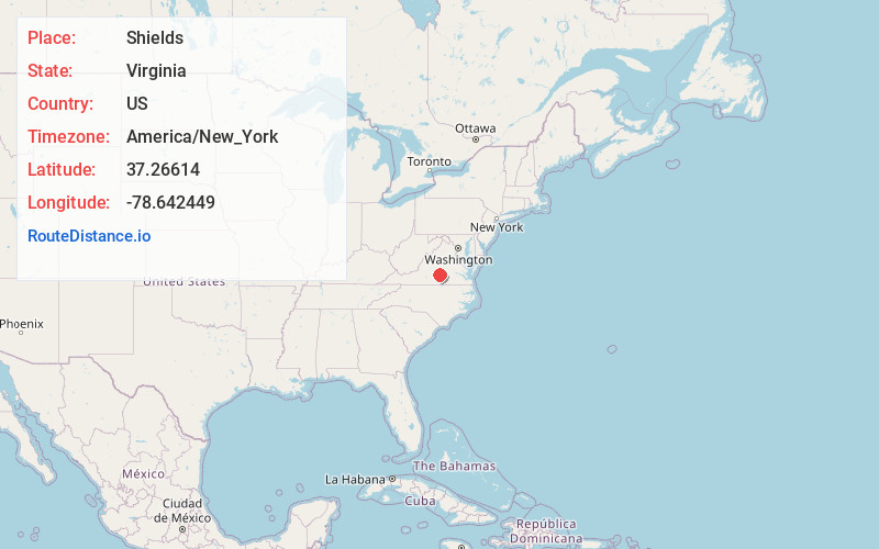
Location Information
-
Full AddressShields, VA 23958
-
Coordinates37.26614, -78.642449
-
LocationShields , Virginia , US
-
TimezoneAmerica/New_York
-
Current Local Time1:53:04 AM America/New_YorkSaturday, June 21, 2025
-
Page Views0
About Shields
Shields is an unincorporated community in Prince Edward County, Virginia, United States.
Nearby Places
Found 10 places within 50 miles

Elam
2.1 mi
3.4 km
Elam, VA 23958
Get directions
Pamplin
2.1 mi
3.4 km
Pamplin, VA 23958
Get directions
Darlington Heights
5.0 mi
8.0 km
Darlington Heights, VA 23958
Get directions
Allens Mill
5.0 mi
8.0 km
Allens Mill, VA 23958
Get directions

Prospect
5.2 mi
8.4 km
Prospect, VA 23960
Get directions
Madisonville
6.0 mi
9.7 km
Madisonville, VA 23923
Get directions
Evergreen
7.7 mi
12.4 km
Evergreen, VA 24522
Get directions
Tuggle
8.9 mi
14.3 km
Tuggle, VA 23960
Get directions
Abilene
10.2 mi
16.4 km
Abilene, VA 23923
Get directions
Coldwater Creek
10.2 mi
16.4 km
Coldwater Creek, Virginia 23923
Get directions
Location Links
Local Weather
Weather Information
Coming soon!
Location Map
Static map view of Shields, Virginia
Browse Places by Distance
Places within specific distances from Shields
Short Distances
Long Distances
Click any distance to see all places within that range from Shields. Distances shown in miles (1 mile ≈ 1.61 kilometers).