Distance to Shields Township, Illinois

Calculating Your Route
Just a moment while we process your request...
Location Information
-
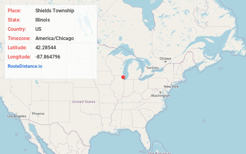
Full AddressShields Township, IL
-
Coordinates42.28544, -87.8647961
-
LocationShields Township , Illinois , US
-
TimezoneAmerica/Chicago
-
Current Local Time12:46:39 AM America/ChicagoThursday, June 5, 2025
-
Page Views0
About Shields Township
Shields Township is a township in Lake County, Illinois, USA. As of the 2010 census, its population was 39,062. The Naval Station Great Lakes is located in this township.
Nearby Places
Found 10 places within 50 miles

Knollwood
1.1 mi
1.8 km
Knollwood, IL 60044
Get directions

Lake Bluff
1.1 mi
1.8 km
Lake Bluff, IL
Get directions

Rondout
1.6 mi
2.6 km
Rondout, Green Oaks, IL 60044
Get directions

Green Oaks
2.0 mi
3.2 km
Green Oaks, IL
Get directions

Lake Forest
2.2 mi
3.5 km
Lake Forest, IL
Get directions
Deerpath
2.6 mi
4.2 km
Deerpath, Lake Forest, IL 60045
Get directions
Skokie Manor
2.9 mi
4.7 km
Skokie Manor, Lake Forest, IL 60045
Get directions

North Chicago
3.0 mi
4.8 km
North Chicago, IL
Get directions
Melody
3.2 mi
5.1 km
Melody, Lake Forest, IL 60045
Get directions

Park City
4.5 mi
7.2 km
Park City, IL
Get directions
Location Links
Local Weather
Weather Information
Coming soon!
Location Map
Static map view of Shields Township, Illinois
Browse Places by Distance
Places within specific distances from Shields Township
Short Distances
Long Distances
Click any distance to see all places within that range from Shields Township. Distances shown in miles (1 mile ≈ 1.61 kilometers).