Distance to Ship Bottom, New Jersey

Calculating Your Route
Just a moment while we process your request...
Location Information
-
Full AddressShip Bottom, NJ 08008
-
Coordinates39.6449971, -74.179542
-
LocationShip Bottom , New Jersey , US
-
TimezoneAmerica/New_York
-
Current Local Time6:08:37 AM America/New_YorkWednesday, June 18, 2025
-
Website
-
Page Views0
About Ship Bottom
Ship Bottom is a borough situated on the Jersey Shore, within Ocean County in the U.S. state of New Jersey.


Nearby Places
Found 10 places within 50 miles

Long Beach Island
0.5 mi
0.8 km
Long Beach Island, New Jersey
Get directions
Surf City
1.4 mi
2.3 km
Surf City, NJ 08008
Get directions

Stafford Township
6.0 mi
9.7 km
Stafford Township, NJ
Get directions

Eagleswood
6.2 mi
10.0 km
Eagleswood, NJ
Get directions

Beach Haven
6.6 mi
10.6 km
Beach Haven, NJ 08008
Get directions

Barnegat Township
8.7 mi
14.0 km
Barnegat Township, NJ
Get directions

Tuckerton
9.0 mi
14.5 km
Tuckerton, NJ 08087
Get directions

Little Egg Harbor Township
9.9 mi
15.9 km
Little Egg Harbor Township, NJ
Get directions

Lacey Township
13.5 mi
21.7 km
Lacey Township, NJ
Get directions

Berkeley Township
17.6 mi
28.3 km
Berkeley Township, NJ
Get directions
Location Links
Local Weather
Weather Information
Coming soon!
Location Map
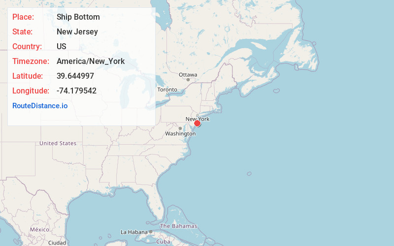
Static map view of Ship Bottom, New Jersey
Browse Places by Distance
Places within specific distances from Ship Bottom
Short Distances
Long Distances
Click any distance to see all places within that range from Ship Bottom. Distances shown in miles (1 mile ≈ 1.61 kilometers).