Distance to Shirland, Illinois

Calculating Your Route
Just a moment while we process your request...
Location Information
-
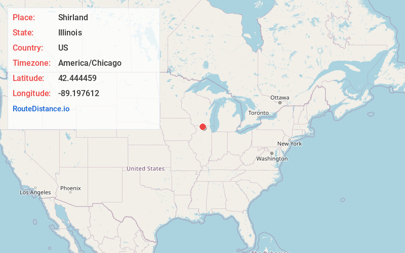
Full AddressShirland, IL 61079
-
Coordinates42.4444591, -89.1976117
-
LocationShirland , Illinois , US
-
TimezoneAmerica/Chicago
-
Current Local Time6:59:35 PM America/ChicagoSaturday, May 24, 2025
-
Page Views0
About Shirland
Shirland is an unincorporated community in Shirland Township, in Winnebago County, Illinois, United States, and is located northwest of Rockford. It is part of the Rockford, Illinois Metropolitan Statistical Area.


Nearby Places
Found 10 places within 50 miles

Harrison
1.2 mi
1.9 km
Harrison, IL 61072
Get directions

Rockton
6.4 mi
10.3 km
Rockton, IL
Get directions

Durand
6.9 mi
11.1 km
Durand, IL 61024
Get directions

Newark
6.9 mi
11.1 km
Newark, WI 53511
Get directions
Wempletown
7.0 mi
11.3 km
Wempletown, IL 61101
Get directions
Hutchins Park
8.1 mi
13.0 km
Hutchins Park, Owen Township, IL 61103
Get directions
Belcrest
8.5 mi
13.7 km
Belcrest, Beloit, WI 53511
Get directions

Latham Park
8.7 mi
14.0 km
Latham Park, Owen Township, IL 61103
Get directions

South Beloit
8.9 mi
14.3 km
South Beloit, IL
Get directions
Morehaven
9.0 mi
14.5 km
Morehaven, Roscoe Township, IL 61073
Get directions
Location Links
Local Weather
Weather Information
Coming soon!
Location Map
Static map view of Shirland, Illinois
Browse Places by Distance
Places within specific distances from Shirland
Short Distances
Long Distances
Click any distance to see all places within that range from Shirland. Distances shown in miles (1 mile ≈ 1.61 kilometers).