Distance to Shirley, Illinois

Calculating Your Route
Just a moment while we process your request...
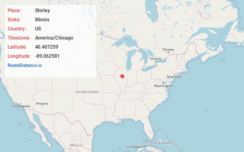
Location Information
-
Full AddressShirley, IL 61772
-
Coordinates40.4072592, -89.0625806
-
LocationShirley , Illinois , US
-
TimezoneAmerica/Chicago
-
Current Local Time9:35:19 AM America/ChicagoMonday, June 23, 2025
-
Page Views0
About Shirley
Shirley is an unincorporated community and census-designated place in southwestern McLean County, Illinois, United States, just off Interstate 55. It was founded in 1854. As of the 2020 census, the population of the CDP was 135. Shirley is home to the Funk Prairie Home & Rock Museum.


Nearby Places
Found 10 places within 50 miles

Bloomington
6.1 mi
9.8 km
Bloomington, IL
Get directions

Heyworth
8.0 mi
12.9 km
Heyworth, IL 61745
Get directions

Normal
8.3 mi
13.4 km
Normal, IL
Get directions

Stanford
8.4 mi
13.5 km
Stanford, IL 61774
Get directions

McLean
8.5 mi
13.7 km
McLean, IL 61754
Get directions

Downs
10.1 mi
16.3 km
Downs, IL
Get directions

Danvers
10.4 mi
16.7 km
Danvers, IL 61732
Get directions

Waynesville
12.1 mi
19.5 km
Waynesville, IL 61778
Get directions

Carlock
12.6 mi
20.3 km
Carlock, IL 61725
Get directions
Minier
13.3 mi
21.4 km
Minier, IL 61759
Get directions
Location Links
Local Weather
Weather Information
Coming soon!
Location Map
Static map view of Shirley, Illinois
Browse Places by Distance
Places within specific distances from Shirley
Short Distances
Long Distances
Click any distance to see all places within that range from Shirley. Distances shown in miles (1 mile ≈ 1.61 kilometers).