Distance to Shirley, Wisconsin

Calculating Your Route
Just a moment while we process your request...
Location Information
-
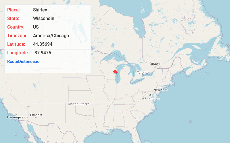
Full AddressShirley, WI 54115
-
Coordinates44.35694, -87.9475
-
LocationShirley , Wisconsin , US
-
TimezoneAmerica/Chicago
-
Current Local Time8:53:22 AM America/ChicagoFriday, June 20, 2025
-
Page Views0
About Shirley
Shirley is an unincorporated community in the town of Glenmore, Brown County, Wisconsin, United States. It is located on Wisconsin Highway 96.
Nearby Places
Found 10 places within 50 miles

Kolb
4.6 mi
7.4 km
Kolb, Kolbs Corner, WI 54311
Get directions

Denmark
6.0 mi
9.7 km
Denmark, WI 54208
Get directions

Bellevue
7.4 mi
11.9 km
Bellevue, WI
Get directions

Greenleaf
8.0 mi
12.9 km
Greenleaf, WI 54126
Get directions
Rosecrans
8.1 mi
13.0 km
Rosecrans, Cooperstown, WI 54227
Get directions

De Pere
8.5 mi
13.7 km
De Pere, WI
Get directions

Maribel
8.9 mi
14.3 km
Maribel, WI 54227
Get directions

Allouez
9.0 mi
14.5 km
Allouez, WI
Get directions

Ashwaubenon
10.6 mi
17.1 km
Ashwaubenon, WI
Get directions

Wrightstown
10.9 mi
17.5 km
Wrightstown, WI
Get directions
Location Links
Local Weather
Weather Information
Coming soon!
Location Map
Static map view of Shirley, Wisconsin
Browse Places by Distance
Places within specific distances from Shirley
Short Distances
Long Distances
Click any distance to see all places within that range from Shirley. Distances shown in miles (1 mile ≈ 1.61 kilometers).