Distance to Shirley, South Carolina

Calculating Your Route
Just a moment while we process your request...
Location Information
-
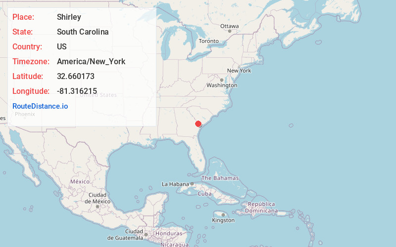
Full AddressShirley, SC 29922
-
Coordinates32.6601734, -81.3162154
-
LocationShirley , South Carolina , US
-
TimezoneAmerica/New_York
-
Current Local Time8:04:48 AM America/New_YorkWednesday, June 18, 2025
-
Page Views0
Nearby Places
Found 10 places within 50 miles

Scotia
4.5 mi
7.2 km
Scotia, SC
Get directions
Lawtonville Crossroads
7.0 mi
11.3 km
Lawtonville Crossroads, SC 29918
Get directions
Furman
7.6 mi
12.2 km
Furman, SC
Get directions

Estill
7.8 mi
12.6 km
Estill, SC 29918
Get directions

Robertville
8.5 mi
13.7 km
Robertville, SC 29922
Get directions
Solomons Crossroads
9.3 mi
15.0 km
Solomons Crossroads, SC 29932
Get directions
Oaky
10.3 mi
16.6 km
Oaky, GA 31303
Get directions
Brier Creek Landing
10.8 mi
17.4 km
Brier Creek Landing, GA 30467
Get directions
Luray
11.5 mi
18.5 km
Luray, SC 29932
Get directions
Valentine
11.8 mi
19.0 km
Valentine, SC 29932
Get directions
Location Links
Local Weather
Weather Information
Coming soon!
Location Map
Static map view of Shirley, South Carolina
Browse Places by Distance
Places within specific distances from Shirley
Short Distances
Long Distances
Click any distance to see all places within that range from Shirley. Distances shown in miles (1 mile ≈ 1.61 kilometers).