Distance to Shiro, Texas

Calculating Your Route
Just a moment while we process your request...
Location Information
-
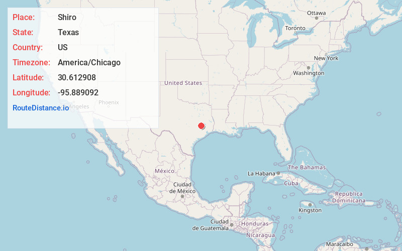
Full AddressShiro, TX
-
Coordinates30.6129077, -95.889092
-
LocationShiro , Texas , US
-
TimezoneAmerica/Chicago
-
Current Local Time10:59:33 PM America/ChicagoWednesday, June 18, 2025
-
Page Views0
About Shiro
Shiro is an unincorporated community and census-designated place in Grimes County, Texas, United States located on State Highway 30 and the BNSF Railway in east central Grimes County.


Nearby Places
Found 10 places within 50 miles

Richards
6.0 mi
9.7 km
Richards, TX
Get directions

Anderson
10.6 mi
17.1 km
Anderson, TX 77830
Get directions

Bedias
11.8 mi
19.0 km
Bedias, TX 77831
Get directions

Iola
15.6 mi
25.1 km
Iola, TX 77861
Get directions

Montgomery
19.3 mi
31.1 km
Montgomery, TX
Get directions

Plantersville
19.4 mi
31.2 km
Plantersville, TX 77363
Get directions

Navasota
19.5 mi
31.4 km
Navasota, TX
Get directions

Huntsville
21.5 mi
34.6 km
Huntsville, TX
Get directions

Madisonville
23.3 mi
37.5 km
Madisonville, TX 77864
Get directions

Todd Mission
24.5 mi
39.4 km
Todd Mission, TX 77363
Get directions
Location Links
Local Weather
Weather Information
Coming soon!
Location Map
Static map view of Shiro, Texas
Browse Places by Distance
Places within specific distances from Shiro
Short Distances
Long Distances
Click any distance to see all places within that range from Shiro. Distances shown in miles (1 mile ≈ 1.61 kilometers).