Distance to Shoshone County, Idaho

Calculating Your Route
Just a moment while we process your request...
Location Information
-
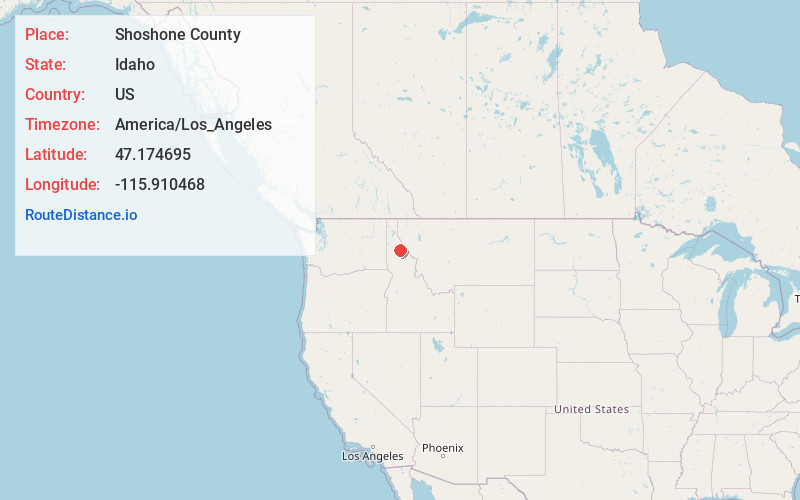
Full AddressShoshone County, ID
-
Coordinates47.1746948, -115.9104676
-
LocationIdaho , US
-
TimezoneAmerica/Los_Angeles
-
Current Local Time1:23:43 AM America/Los_AngelesThursday, June 19, 2025
-
Page Views0
About Shoshone County
Shoshone County shə-SHOHN is a county in the U.S. state of Idaho. As of the 2020 census, the population was 13,169. The county seat is Wallace and the largest city is Kellogg. The county was established in 1864, named for the Native American Shoshone tribe.


Nearby Places
Found 10 places within 50 miles

Horsecamp Creek
4.2 mi
6.8 km
Horsecamp Creek, Idaho 83802
Get directions

St Joe River
5.3 mi
8.5 km
St Joe River, Idaho
Get directions
Hoyt
5.4 mi
8.7 km
Hoyt, ID 83802
Get directions
Ethelton
5.5 mi
8.9 km
Ethelton, ID 83802
Get directions

Avery
7.2 mi
11.6 km
Avery, ID 83802
Get directions

Marble Creek
7.4 mi
11.9 km
Marble Creek, Idaho 83808
Get directions
Pocono
8.2 mi
13.2 km
Pocono, ID 83808
Get directions
Erlmo
8.8 mi
14.2 km
Erlmo, ID 83808
Get directions
Stetson
9.9 mi
15.9 km
Stetson, ID 83802
Get directions
Herrick
11.4 mi
18.3 km
Herrick, ID 83808
Get directions
Location Links
Local Weather
Weather Information
Coming soon!
Location Map
Static map view of Shoshone County, Idaho
Browse Places by Distance
Places within specific distances from Shoshone County
Short Distances
Long Distances
Click any distance to see all places within that range from Shoshone County. Distances shown in miles (1 mile ≈ 1.61 kilometers).