Distance to Shrader, Pennsylvania
Location Information
-
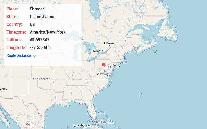
Full AddressShrader, Armagh Township, PA 17084
-
Coordinates40.6978468, -77.5536061
-
LocationArmagh Township , Pennsylvania , US
-
TimezoneAmerica/New_York
-
Current Local Time1:37:14 AM America/New_YorkThursday, May 15, 2025
-
Page Views0
Nearby Places
Found 10 places within 50 miles

Knobville
2.0 mi
3.2 km
Knobville, Armagh Township, PA 17063
Get directions
Church Hill
2.1 mi
3.4 km
Church Hill, PA 17084
Get directions

Milroy
2.2 mi
3.5 km
Milroy, PA
Get directions

Siglerville
3.0 mi
4.8 km
Siglerville, PA 17063
Get directions

Reedsville
3.2 mi
5.1 km
Reedsville, PA 17084
Get directions
Potlicker Flats
3.6 mi
5.8 km
Potlicker Flats, PA 17063
Get directions

Yeagertown
4.0 mi
6.4 km
Yeagertown, PA 17099
Get directions

Burnham
4.2 mi
6.8 km
Burnham, PA
Get directions


Leaflet © OpenStreetMap contributors
Location Links
Local Weather
Weather Information
Coming soon!
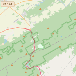
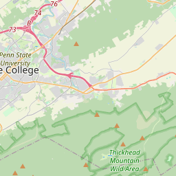
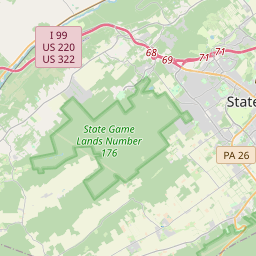
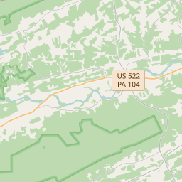
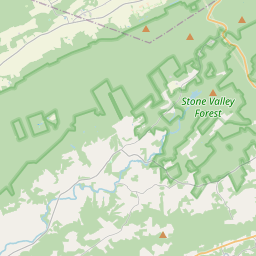
Location Map
Static map view of Shrader, Pennsylvania
Browse Places by Distance
Places within specific distances from Shrader
Short Distances
Long Distances
Click any distance to see all places within that range from Shrader. Distances shown in miles (1 mile ≈ 1.61 kilometers).