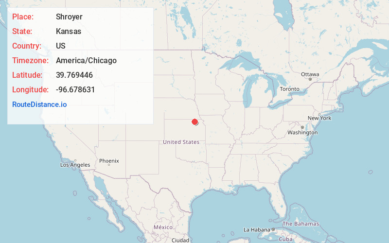
Distance to Shroyer, Kansas

Calculating Your Route
Just a moment while we process your request...
Location Information
-
Full AddressShroyer, Elm Creek Township, KS 66508
-
Coordinates39.7694459, -96.6786306
-
LocationElm Creek Township , Kansas , US
-
TimezoneAmerica/Chicago
-
Current Local Time2:31:50 AM America/ChicagoMonday, June 23, 2025
-
Page Views0
Nearby Places
Found 10 places within 50 miles

Alcove Spring
0.6 mi
1.0 km
Alcove Spring, KS 66411
Get directions
Bestwall
4.4 mi
7.1 km
Bestwall, Blue Rapids City Township, KS 66411
Get directions

Marysville
5.2 mi
8.4 km
Marysville, KS 66508
Get directions
Blue Rapids
6.1 mi
9.8 km
Blue Rapids, KS 66411
Get directions

Waterville
6.5 mi
10.5 km
Waterville, KS
Get directions
Carden
6.6 mi
10.6 km
Carden, Franklin Township, KS 66508
Get directions
Reedsville
7.4 mi
11.9 km
Reedsville, Center Township, KS 66508
Get directions

Home
9.8 mi
15.8 km
Home, KS 66438
Get directions
Bremen
10.8 mi
17.4 km
Bremen, KS 66412
Get directions
Barnes
11.1 mi
17.9 km
Barnes, KS 66933
Get directions
Location Links
Local Weather
Weather Information
Coming soon!
Location Map
Static map view of Shroyer, Kansas
Browse Places by Distance
Places within specific distances from Shroyer
Short Distances
Long Distances
Click any distance to see all places within that range from Shroyer. Distances shown in miles (1 mile ≈ 1.61 kilometers).