Distance to Siesta Beach, Florida

Calculating Your Route
Just a moment while we process your request...
Location Information
-
Full AddressSiesta Beach, Florida 34242
-
Coordinates27.265423, -82.552834
-
LocationFlorida , US
-
TimezoneAmerica/New_York
-
Current Local Time9:14:07 PM America/New_YorkSaturday, June 14, 2025
-
Page Views0


Nearby Places
Found 10 places within 50 miles

Siesta Beach
0.1 mi
0.2 km
Siesta Beach, Sarasota, FL 34242
Get directions

Siesta Key
0.4 mi
0.6 km
Siesta Key, FL 34242
Get directions

Point O'Rocks
1.7 mi
2.7 km
Point O'Rocks, FL 34242
Get directions

South Sarasota
1.9 mi
3.1 km
South Sarasota, FL
Get directions
White Beach
2.4 mi
3.9 km
White Beach, FL 34242
Get directions
South Trail
2.7 mi
4.3 km
South Trail, Sarasota, FL 34231
Get directions

Gulf Gate Estates
2.9 mi
4.7 km
Gulf Gate Estates, FL 34231
Get directions
Ridge Wood Heights
2.9 mi
4.7 km
Ridge Wood Heights, FL
Get directions

Lido Key
3.5 mi
5.6 km
Lido Key, Sarasota, FL 34236
Get directions
South Gate Ridge
3.7 mi
6.0 km
South Gate Ridge, FL
Get directions
Location Links
Local Weather
Weather Information
Coming soon!
Location Map
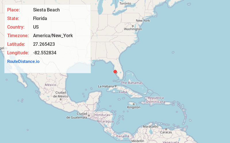
Static map view of Siesta Beach, Florida
Browse Places by Distance
Places within specific distances from Siesta Beach
Short Distances
Long Distances
Click any distance to see all places within that range from Siesta Beach. Distances shown in miles (1 mile ≈ 1.61 kilometers).