Distance to Sigel, Pennsylvania

Calculating Your Route
Just a moment while we process your request...
Location Information
-
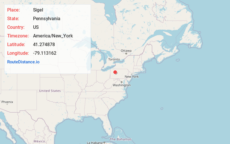
Full AddressSigel, PA 15860
-
Coordinates41.2748782, -79.1131619
-
LocationSigel , Pennsylvania , US
-
TimezoneAmerica/New_York
-
Current Local Time7:29:07 PM America/New_YorkSunday, May 25, 2025
-
Page Views0
About Sigel
Sigel is an unincorporated community in Eldred Township, Jefferson County, Pennsylvania, United States. The community is located at the intersection of Pennsylvania Route 36 and Pennsylvania Route 949, 8 miles north of Brookville. Sigel has a post office with ZIP code 15860, which opened on May 26, 1862.
Nearby Places
Found 10 places within 50 miles

Howe
4.0 mi
6.4 km
Howe, PA 15825
Get directions

Millstone Creek
5.9 mi
9.5 km
Millstone Creek, Millstone Township, PA 15860
Get directions
Corsica
8.0 mi
12.9 km
Corsica, PA
Get directions

Brookville
8.0 mi
12.9 km
Brookville, PA 15825
Get directions

Hazen
8.8 mi
14.2 km
Hazen, PA 15825
Get directions
Holden
9.3 mi
15.0 km
Holden, Limestone Township, PA 16258
Get directions
Rose Township
9.6 mi
15.4 km
Rose Township, PA
Get directions
Helen Furnace
10.4 mi
16.7 km
Helen Furnace, Highland Township, PA 16214
Get directions
Rader
10.4 mi
16.7 km
Rader, Limestone Township, PA 16258
Get directions
Clover Township
11.0 mi
17.7 km
Clover Township, PA
Get directions
Location Links
Local Weather
Weather Information
Coming soon!
Location Map
Static map view of Sigel, Pennsylvania
Browse Places by Distance
Places within specific distances from Sigel
Short Distances
Long Distances
Click any distance to see all places within that range from Sigel. Distances shown in miles (1 mile ≈ 1.61 kilometers).