Distance to Siler, Kentucky

Calculating Your Route
Just a moment while we process your request...
Location Information
-
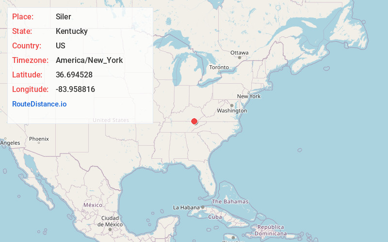
Full AddressSiler, KY 40763
-
Coordinates36.6945284, -83.9588155
-
LocationSiler , Kentucky , US
-
TimezoneAmerica/New_York
-
Current Local Time4:56:16 AM America/New_YorkSunday, June 15, 2025
-
Page Views0
About Siler
Siler is an unincorporated community in Whitley County, Kentucky, United States. The community is located along Kentucky Route 92 11.6 miles east-southeast of Williamsburg. Siler has a post office with ZIP code 40763, which opened on October 5, 1904.


Nearby Places
Found 10 places within 50 miles

Goins
1.1 mi
1.8 km
Goins, KY 40763
Get directions
Carpenter
1.6 mi
2.6 km
Carpenter, KY 40769
Get directions
Rain
2.0 mi
3.2 km
Rain, KY 40906
Get directions
Pearl
4.4 mi
7.1 km
Pearl, KY 40940
Get directions
Chenoa
5.7 mi
9.2 km
Chenoa, KY 40977
Get directions
Lucky
6.9 mi
11.1 km
Lucky, KY 40769
Get directions
Olcott
7.0 mi
11.3 km
Olcott, KY 40977
Get directions
Valley Creek
8.9 mi
14.3 km
Valley Creek, TN 37715
Get directions
Hamlin Town
9.0 mi
14.5 km
Hamlin Town, TN 37715
Get directions
Swan Lake
9.3 mi
15.0 km
Swan Lake, KY 40906
Get directions
Location Links
Local Weather
Weather Information
Coming soon!
Location Map
Static map view of Siler, Kentucky
Browse Places by Distance
Places within specific distances from Siler
Short Distances
Long Distances
Click any distance to see all places within that range from Siler. Distances shown in miles (1 mile ≈ 1.61 kilometers).